

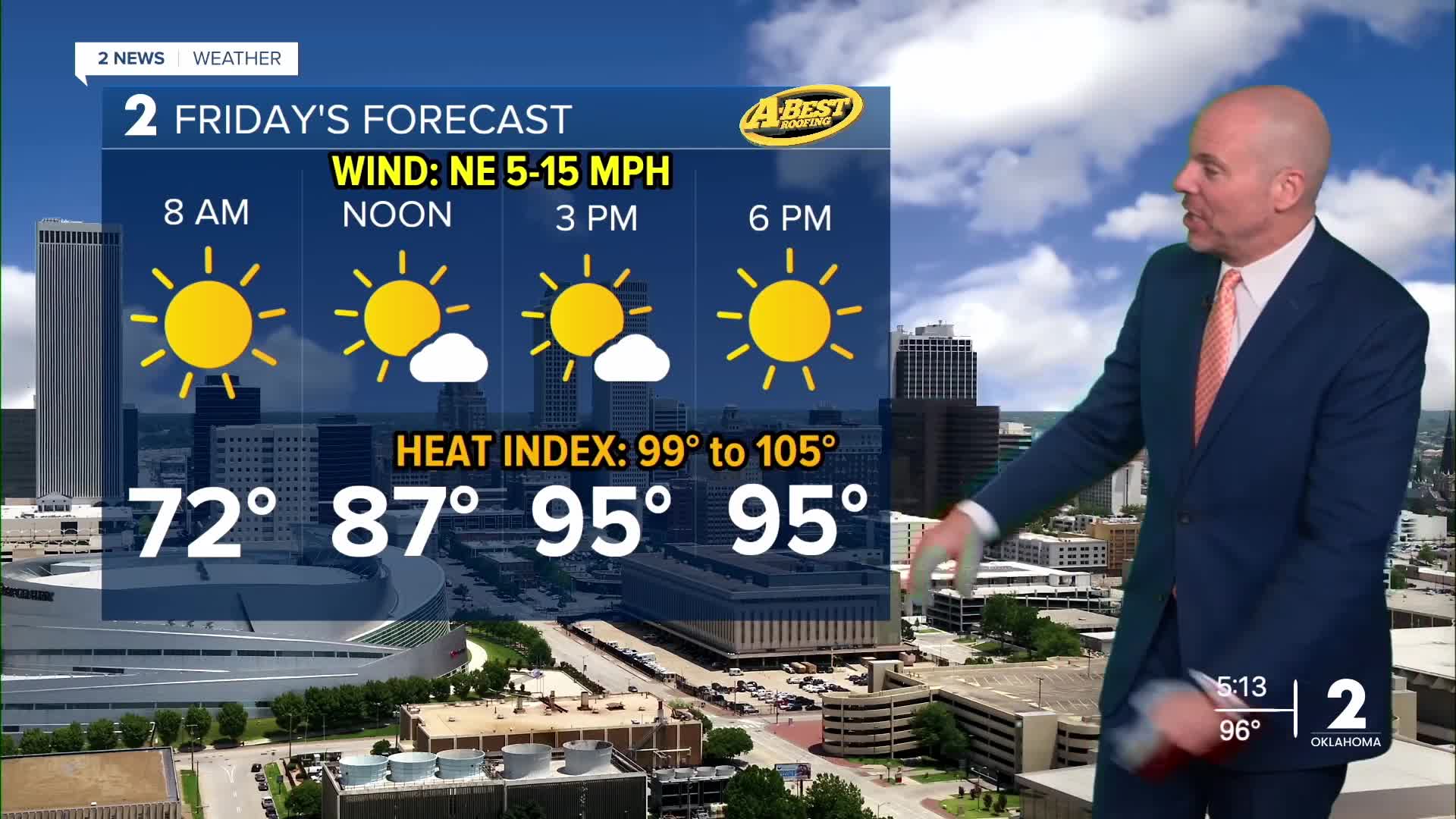



TULSA, OKLA — Clear skies tonight will allow temperatures to fall into the upper 60s for many locations by Friday morning. However, the cooler weather won’t last long. Temperatures will begin warming again Friday, with highs returning to the mid to upper 90s.
High pressure will strengthen across the region this weekend, bringing back hotter and more humid conditions. Temperatures will climb into the upper 90s to near 100° this weekend and remain hot through much of next week.
The strong ridge of high pressure will also keep storm systems away from Green Country. That means mostly clear skies, very limited rain chances and hot, breezy afternoons are expected day after day.
The extended hot and dry pattern is expected to continue into early September, worsening the ongoing drought. Hot, windy conditions will also create localized fire weather concerns at times, particularly during the afternoon.
There is currently no meaningful sign of cooler, fall-like weather arriving soon. The latest outlook from the Climate Prediction Center favors above-average temperatures and below-average precipitation into the Labor Day weekend.
Stay in touch with us anytime, anywhere --
- Download our free app for Apple, Android and Kindle devices.
- Sign up for daily newsletters emailed to you
- Like us on Facebook
- Follow us on Instagram
- Watch LIVE 24/7 on YouTube
