



TULSA, OKLA — Any showers and storms across the region this evening will diminish overnight with a slight chance of a shower remaining to start Friday. Mornings lows will hold in the upper 60s to low 70s.
There will still be a slight chance for a few isolated showers and thunderstorms Friday, but rainfall coverage will be limited so not everyone will see rain. Afternoon highs will remain below the seasonal average of 94 degrees, topping out in the low 90s both days.
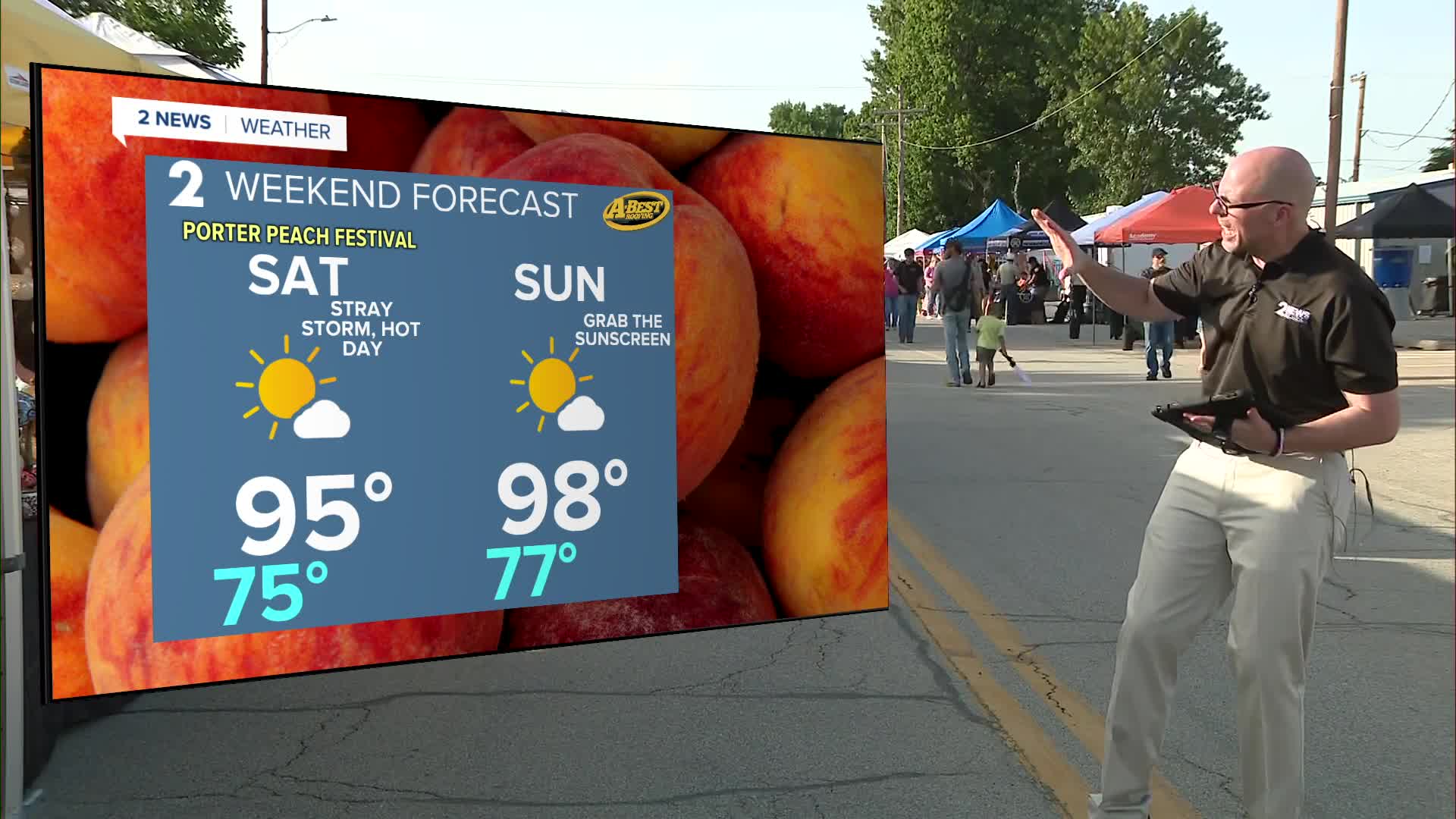
Be ready for the heat to build over the weekend with highs reaching the mid-90s Saturday and the mid to upper 90s on Sunday. Heat index values will climb into the triple digits getting close to heat advisory criteria. Stay cool and hydrated for your weekend plans.
Looking ahead to early next week, even hotter air is expected to move in. Tulsa could reach its first 100-degree day of the year as early as Monday. On average, Tulsa typically records its first 100-degree temperature around July 10, making this year’s first triple-digit day later than average.
Data differs on how the weather pattern will evolve in the middle and end of next week. Some guidance trends temps back to cooler than average while other guidance actually places a strong ridge of high pressure over us building the heat even more. Our current forecast basically splits this difference and we will continue to adjust as we get closer.
Stay in touch with us anytime, anywhere --
- Download our free app for Apple, Android and Kindle devices.
- Sign up for daily newsletters emailed to you
- Like us on Facebook
- Follow us on Instagram
- Watch LIVE 24/7 on YouTube
