

TULSA, Okla. — We'll see increasing clouds tonight with the low in Tulsa down to only 67°. South winds 10-15 with gusts up to 25 mph.
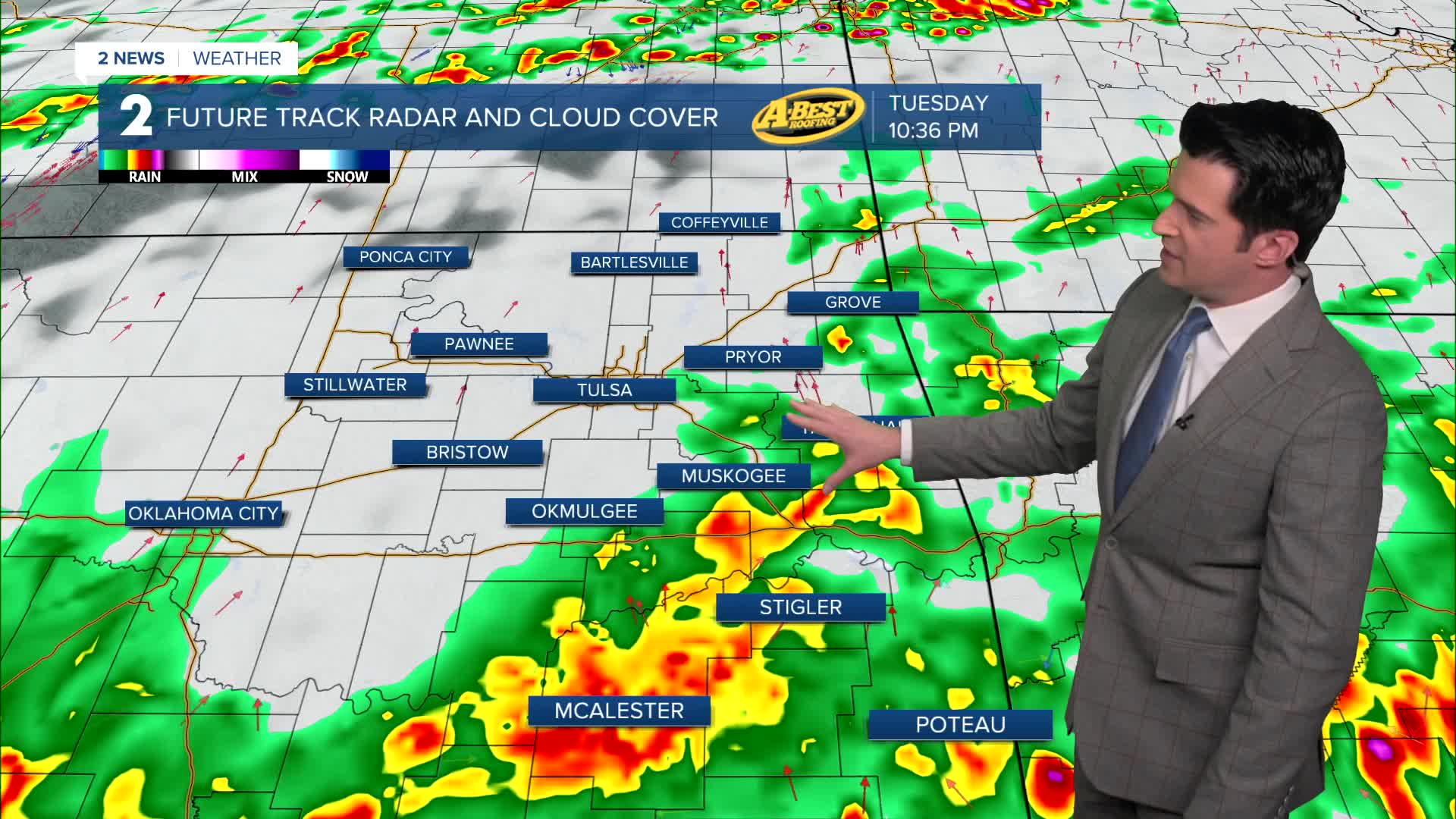
Mostly cloudy skies on Tuesday with highs in the low 80s. South winds 15-20 mph with gusts up to 30 mph. Look for increasing scattered showers and storms later in the day, especially by evening and stretching into the late night hours. All modes will be possible with wind and hail. Also, there is a lower end tornado risk.
Behind the cold front on Wednesday, lows in the mid 50s with highs in the low to the mid 60s. Mostly cloudy skies in the morning with some widely scattered showers. Wrapping up by afternoon with maybe some sunbreaks.
Mostly sunny skies on Thursday and Friday. Lows Thursday in the mid 30s. Outlying spots could be around freezing. Highs in the mid 60s.
For Friday, lows in the 40s with daytime highs in the mid 70s.
On Saturday, continuing with mostly sunny skies. Lows in the 50s with afternoon temps around 80°.
Another cold front will push through during the day on Sunday. Lows in the 50s with highs in the mid 60s. Slight chance for a shower, but the front doesn't look to contain much moisture.
By Monday behind the front, lows near freezing with highs in the low 50s. Partly cloudy skies.
Stay in touch with us anytime, anywhere --
- Download our free app for Apple, Android and Kindle devices.
- Sign up for daily newsletters emailed to you
- Like us on Facebook
- Follow us on Instagram
- Watch LIVE 24/7 on YouTube
