

TULSA, Okla. — Temperatures overnight will likely hold in the upper 40s to low 50s with a few spotty light showers possible mostly across eastern and southern parts of the region.
A cold front will move through Thursday morning with breezy to windy conditions. Chance for a few rain showers early in the morning, then clearing skies behind the front. The strongest winds are expected in SE Kansas where gusts up to 50 mph might occur. High fire danger there and elevated across Green Country. A Wind Advisory is also posted for Kansas. Gusts in northeast Oklahoma should be 35-40 mph. Lows in the upper 40s with highs near 60° again.
After that front, expect a freeze down to the 20s Friday morning, then highs in the mid 50s. Mostly sunny.
On Saturday before another front, highs in the 60s. Lows start out in the mid 40s. Mostly sunny.
After the front on Sunday, lows in the 30s with daytime highs reaching the 50s. Partly cloudy.
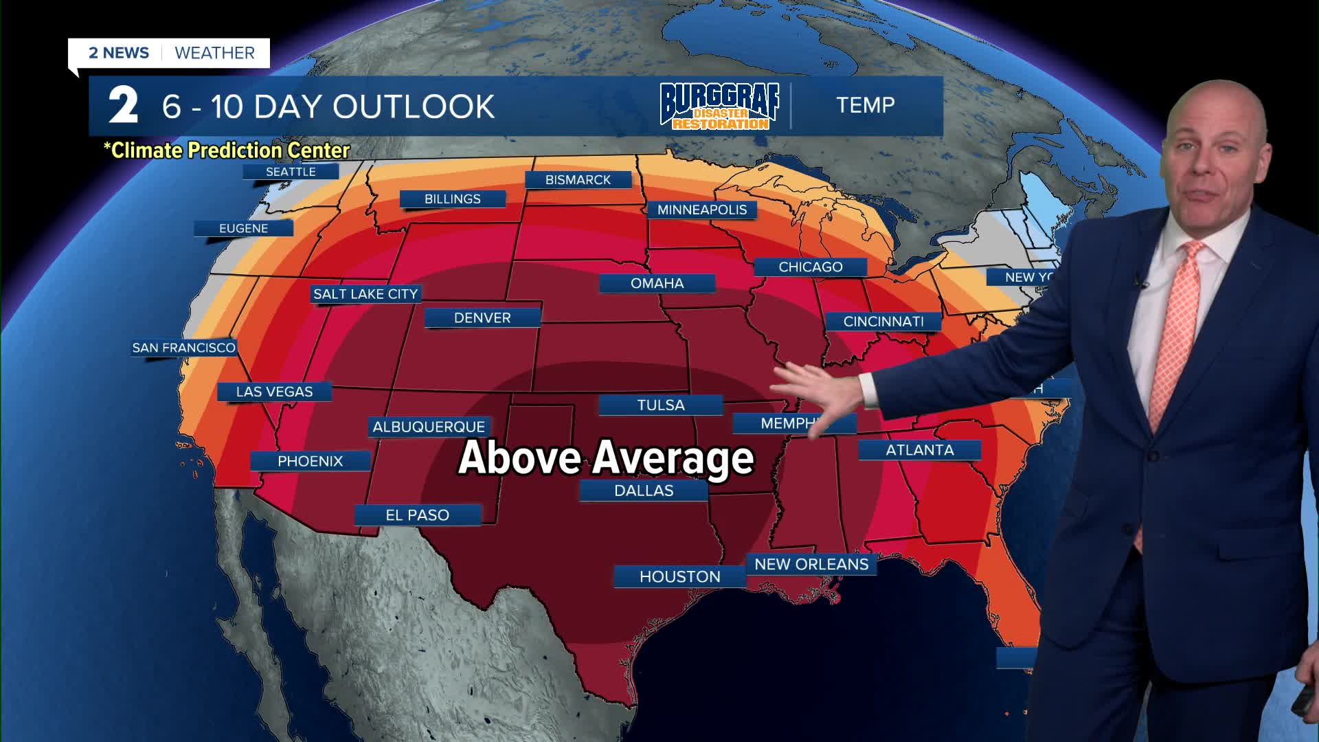
An early look around Christmas Eve and Christmas Day suggests highs in the 70s. We could be near record highs especially on Christmas Day. Stay tuned for future forecasts.
Stay in touch with us anytime, anywhere --
- Download our free app for Apple, Android and Kindle devices.
- Sign up for daily newsletters emailed to you
- Like us on Facebook
- Follow us on Instagram
- Watch LIVE 24/7 on YouTube
