

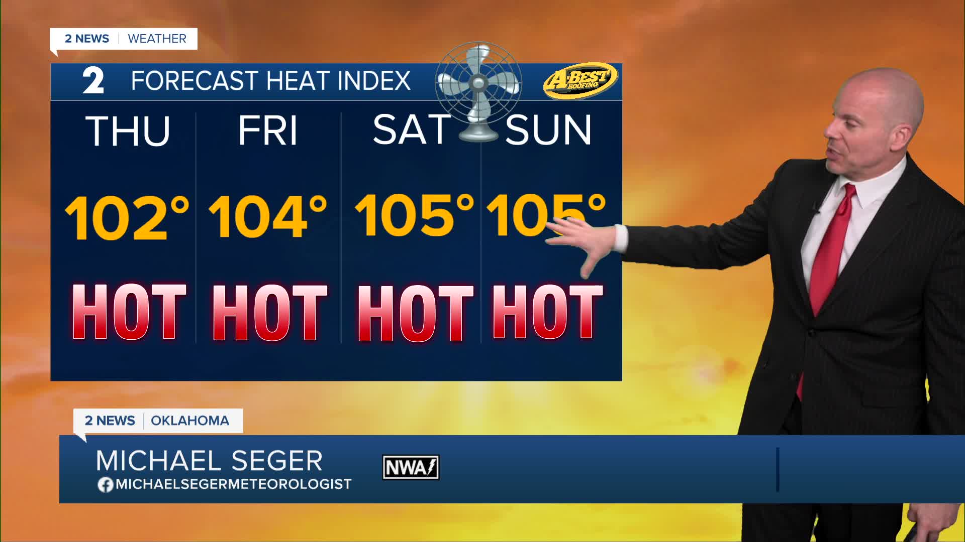


TULSA, OKLA — Typical summer heat is sticking around this week with highs in the mid-90s Thursday and Friday and a heat index near or above 100°. Lows both mornings will hold in the mid/upper 70s.
A slight increase in moisture will bring a chance for isolated afternoon showers and thunderstorms, mainly across the higher terrain of eastern Oklahoma near and/or east of HWY 69.
Most locations will stay dry, but any storm that develops could produce gusty winds, brief heavy rainfall and frequent lightning.
Fourth of July this Saturday is expected to be one of the hotter days of the forecast, with temperatures topping out in the mid to upper 90s and a heat index around 105°. Take heat precautions when celebrating this weekend.
A weak frontal boundary will bring widely scattered chances for showers and thunderstorms Sunday into Monday across the area. While widespread severe weather is not expected, some storms could still produce gusty winds and locally heavy rain.
Rain chances may linger into early next week as another weak weather disturbance moves through the Plains. Even with a few opportunities for rain, temperatures are expected to remain seasonably hot, with highs staying in the 90s.
Stay in touch with us anytime, anywhere --
- Download our free app for Apple, Android and Kindle devices.
- Sign up for daily newsletters emailed to you
- Like us on Facebook
- Follow us on Instagram
- Watch LIVE 24/7 on YouTube
