

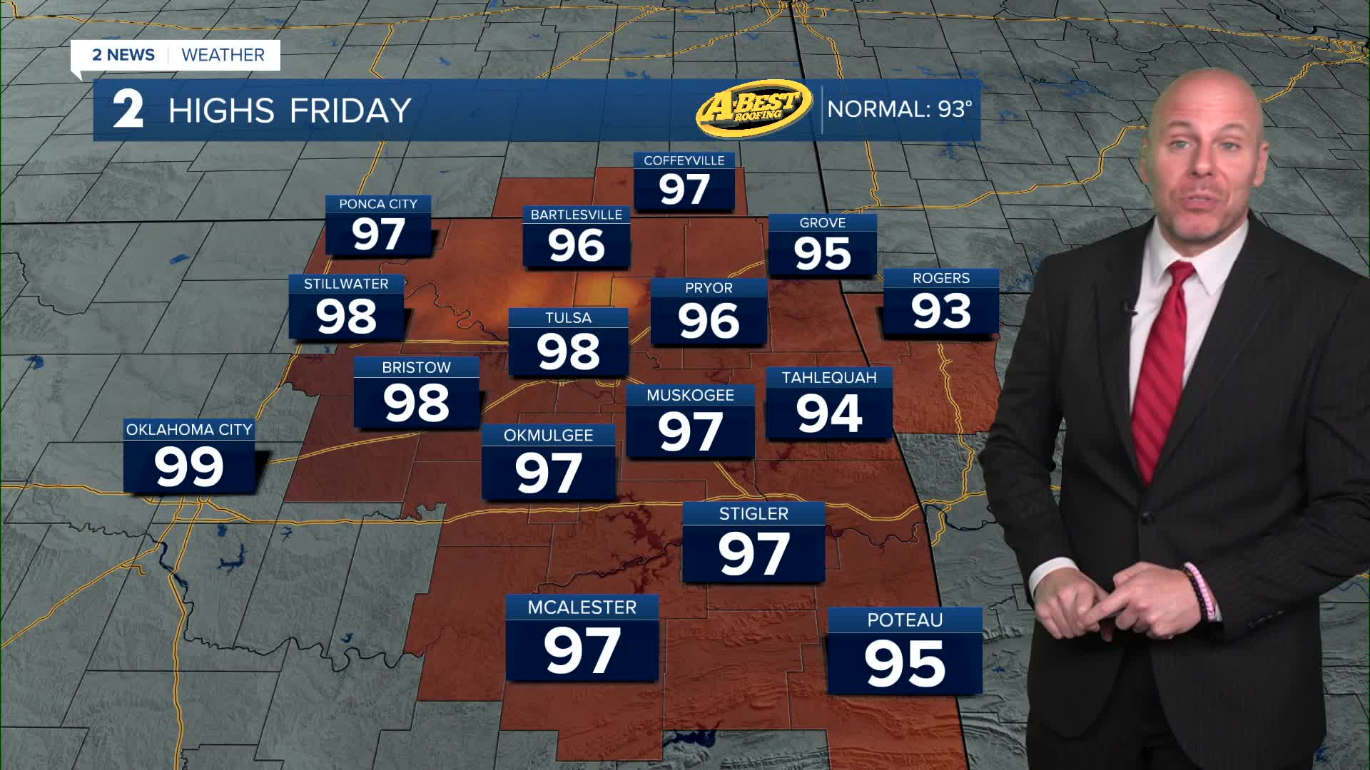


TULSA, OKLA — If you have outdoor plans Friday and Saturday, be sure to stay hydrated, take frequent breaks in the shade or air conditioning, and avoid strenuous activity during the hottest part of the afternoon.
Temperatures only drop into the upper 70s to near 80 Friday morning with a few spotty showers around. We'll see another sweltering day with highs in the upper 90s and a heat index well over 100° yet again. A few isolated afternoon/evening pop-up storms will be possible.
A weak front will begin dropping into Green Country this weekend bringing a more active weather pattern. From late Friday through the weekend and into early next week, expect several rounds of scattered showers and thunderstorms. While it’s too early to pinpoint exactly when storms will develop each day, periods of heavy rainfall will be possible as tropical moisture increases and storms move more slowly. Widespread severe weather is not expected, but a few storms may still reach severe levels with a wind and hail threat.
The silver lining is that the increased rain chances will bring welcome relief from the heat. High temperatures will fall back closer to seasonal averages—and possibly a few degrees below normal—by early next week. Daily storm chances are expected to continue before hotter and drier weather gradually returns during the middle of next week.
Stay in touch with us anytime, anywhere --
- Download our free app for Apple, Android and Kindle devices.
- Sign up for daily newsletters emailed to you
- Like us on Facebook
- Follow us on Instagram
- Watch LIVE 24/7 on YouTube
