

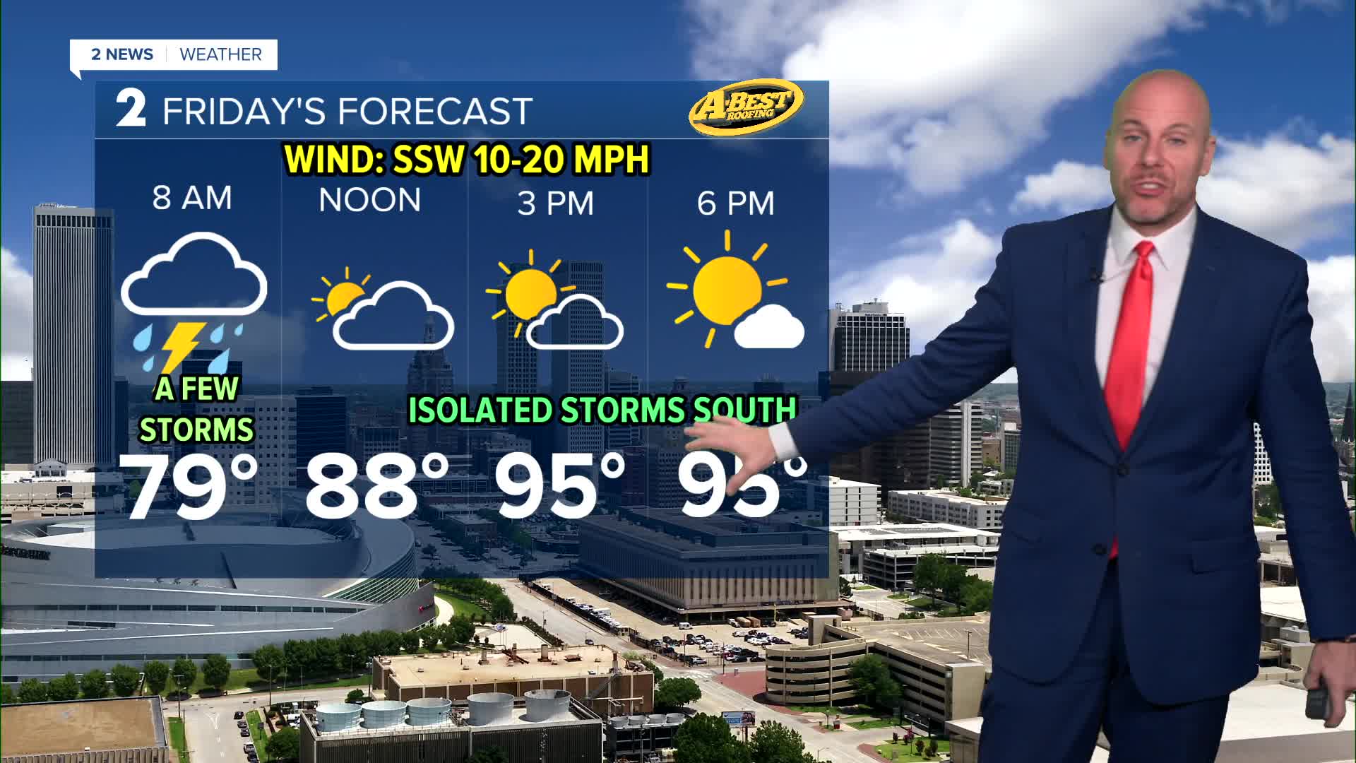


TULSA, OKLA — While the heat continues, rain chances will gradually increase. The best opportunity for showers and thunderstorms arrives late tonight and into early Friday an upper-level disturbance moves across the region. Areas along and north of I-40 have the greatest chance of seeing meaningful rainfall, although not everyone will receive rain.
Rain chances will linger into Friday, with the highest coverage gradually shifting toward southeastern Oklahoma during the afternoon. Exactly where storms develop will also influence Friday’s temperatures, with areas that stay cloudy likely remaining a few degrees cooler than locations that see more sunshine. Our current forecast has highs in the mid 90s.
By the weekend, high pressure will rebuild across the Southern Plains, bringing a return to triple-digit temperatures over the weekend. A few isolated pop-up showers and storms may be possible Saturday, but most of us will remain dry. Dangerous heat likely continues into next week with additional heat headlines possible.
Stay in touch with us anytime, anywhere --
- Download our free app for Apple, Android and Kindle devices.
- Sign up for daily newsletters emailed to you
- Like us on Facebook
- Follow us on Instagram
- Watch LIVE 24/7 on YouTube
