

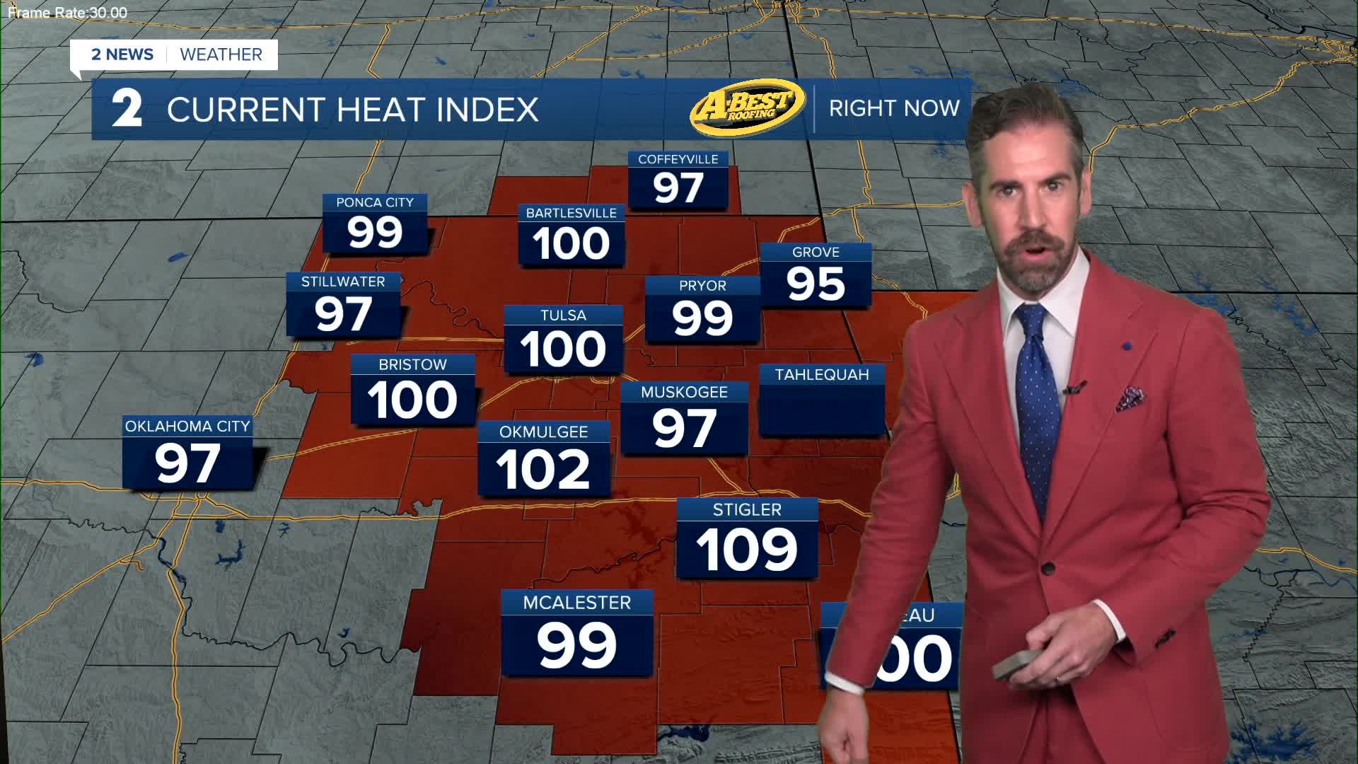


TULSA, Okla — Muggy weather is with us as we move into the holiday weekend. Temperatures will be dropping off through the 80s into the upper 70s for lows by dawn on Saturday.
Independence Day will be dangerously hot with a Heat Advisory in effect from Noon to 8PM. We will have our hottest day yet this year with afternoon highs in the mid to upper 90s and a heat index topping 105°.
A round or two of thunderstorms may also be an impact on holiday plans. Morning showers are possible, mainly north of Tulsa. Then, a few pop-up downpours may form in the heat of the afternoon or early evening in southeast Oklahoma. The main round of storms forms along a weak cold front in Kansas. These storms may drop into Green Country toward sunset or a bit later with a high wind and hail severe weather threat. Most of these storms may hold off until after fireworks displays, but have a plan to move indoors in case they arrive earlier. Off and on heavy storms are likely overnight and into Sunday morning.
A few showers and storms are possible during the day Sunday with a decreasing chance by afternoon and evening. It will be slightly cooler in the wake of this active weather with highs in the lower 90s.
A few rounds of showers and storms are possible next week with a gradual warming trend with time. Highs each day will be in the 90s with a heat index nearing or topping 100°.
Stay in touch with us anytime, anywhere --
- Download our free app for Apple, Android and Kindle devices.
- Sign up for daily newsletters emailed to you
- Like us on Facebook
- Follow us on Instagram
- Watch LIVE 24/7 on YouTube
