

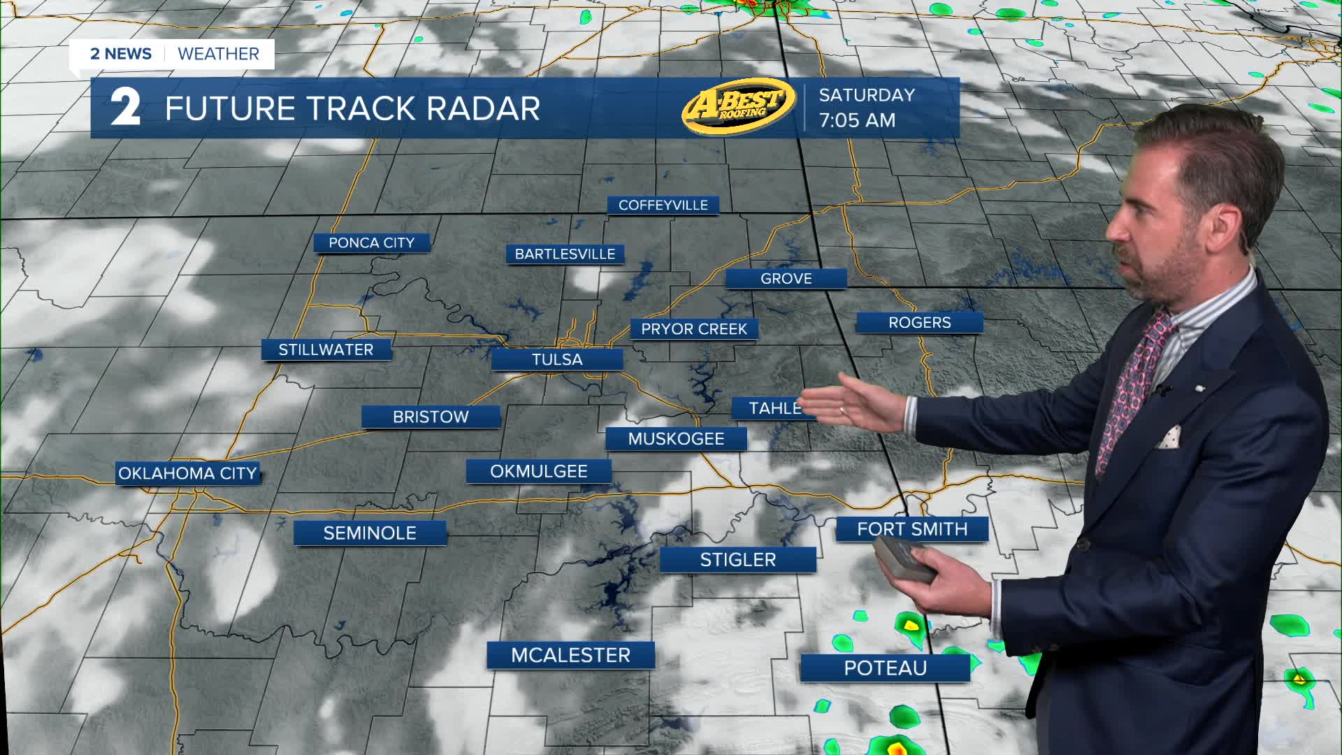


Generally dry Friday night and into Saturday morning with partly cloudy, mild and humid conditions. Lows by Saturday morning will be in the upper 60s.
A few pop-up thundershowers are possible in the area Saturday. Otherwise, it will be a seasonably warm and humid day with highs in the upper 80s. The heat index will climb into the 90s by afternoon.
The warm-up continues into Sunday as gusty south winds take hold. Fittingly, Sunday is also the first day of summer. The solstice starts at 3:24 am. Morning lows in the 70s will give way to afternoon readings in the 90s with a feel-like temperature above 100°. A round of morning showers or storms is possible. Otherwise, expect dry conditions until late in the day or evening when a cold front may bring a squall line into eastern Oklahoma. These storms may be severe with a high wind and hail threat.
Unsettled weather continues into early next week with periods of rain likely and perhaps a low-end threat of severe weather. Sunday night's cold front, cloud cover and periods of rain will keep temperatures below average for late June.
Temperatures will start to warm back up toward the end of next week with rain chances still possible until the following weekend.
Stay in touch with us anytime, anywhere --
- Download our free app for Apple, Android and Kindle devices.
- Sign up for daily newsletters emailed to you
- Like us on Facebook
- Follow us on Instagram
- Watch LIVE 24/7 on YouTube
