

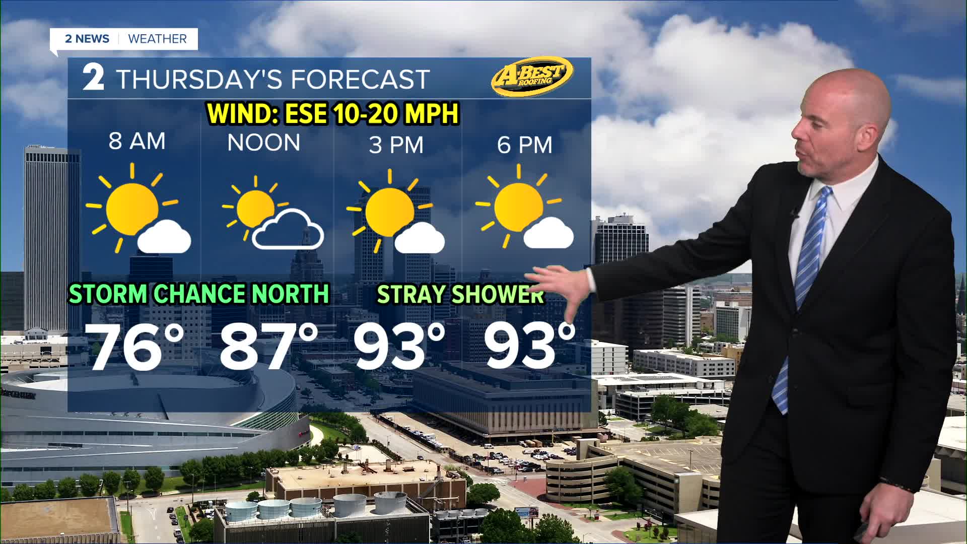


TULSA, OKLA — We'll enjoy a pleasant and refreshing summer night across Green Country with morning lows in the upper 60s to low 70s. A few showers and thunderstorms could develop Thursday morning, mainly north near the Kansas border, but we'll keep at least a slight chance down to HWY 412 and the Tulsa metro. Look for afternoon highs in the low/mid 90s with some sunshine and just a slight chance of a stray shower.
For Friday few scattered showers and thunderstorms are possible with the best chance coming that night into Saturday morning. There is still some uncertainty if any precipitation and/or lingering clouds could limit heating Friday afternoon. For now we'll keep highs near our seasonal average in the mid 90s. With an increase of low level moisture, heat index values will likely be back in the triple digits.
By the end of the weekend, triple-digit temperatures are expected to return. Combined with increasing humidity, heat index values will once again climb into a dangerous range. The hot pattern is expected to continue into next week, with multiple days of 100° temperatures looking likely.
Even with this brief midweek break, don’t let your guard down. Limit time outdoors during the hottest part of the day, stay hydrated, and never leave children or pets inside a parked vehicle. Older adults, young children, and anyone working outside will be especially vulnerable as dangerous heat returns.
Stay in touch with us anytime, anywhere --
- Download our free app for Apple, Android and Kindle devices.
- Sign up for daily newsletters emailed to you
- Like us on Facebook
- Follow us on Instagram
- Watch LIVE 24/7 on YouTube
