

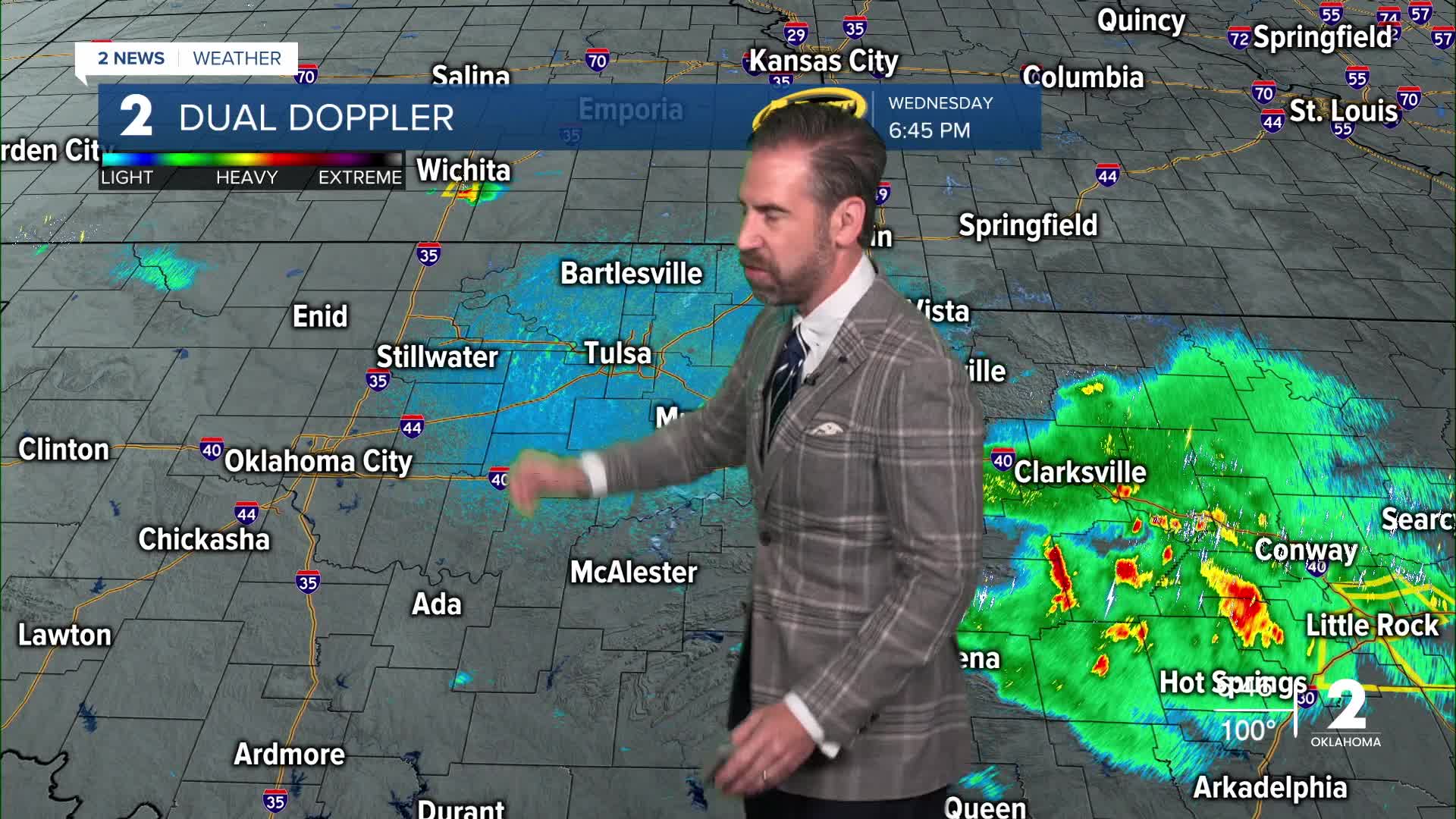


TULSA, OKLA. — Mostly clear skies with a steady drop in temperatures is expected overnight. By dawn, temperatures will be down into the lower 70s.
Thursday will bring a mix of cloud cover and sunshine with seasonable heat and lower humidity than the past few days. Afternoon highs will be in the mid-90s with only a light northeast breeze. A few pop-up showers and storms may occur in southeast Oklahoma that afternoon.
Many locations will have temperatures drop into the upper 60s by Friday morning beneath clear skies. As we close out the work week, temperatures will start a warming trend again. We'll reach the mid-90s Friday afternoon and close to the century mark by the weekend.
High pressure strengthens over the area again this weekend. Southerly winds will bring back increasing heat and humidity, with temperatures climbing into the upper 90s to lower 100s from the weekend through most of next week. The high pressure will block any storm system from reaching Green Country. This will keep our skies mostly clear with dry, unseasonably hot and breezy conditions day-to-day into early September.
Stay in touch with us anytime, anywhere --
- Download our free app for Apple, Android and Kindle devices.
- Sign up for daily newsletters emailed to you
- Like us on Facebook
- Follow us on Instagram
- Watch LIVE 24/7 on YouTube
