



TULSA, OKLA. — Very warm and humid conditions stick around this evening with a slight chance of a shower or t-storm. Most areas will stay dry tonight as temperatures gradually dip into the mid-70s for lows by sunrise Wednesday.
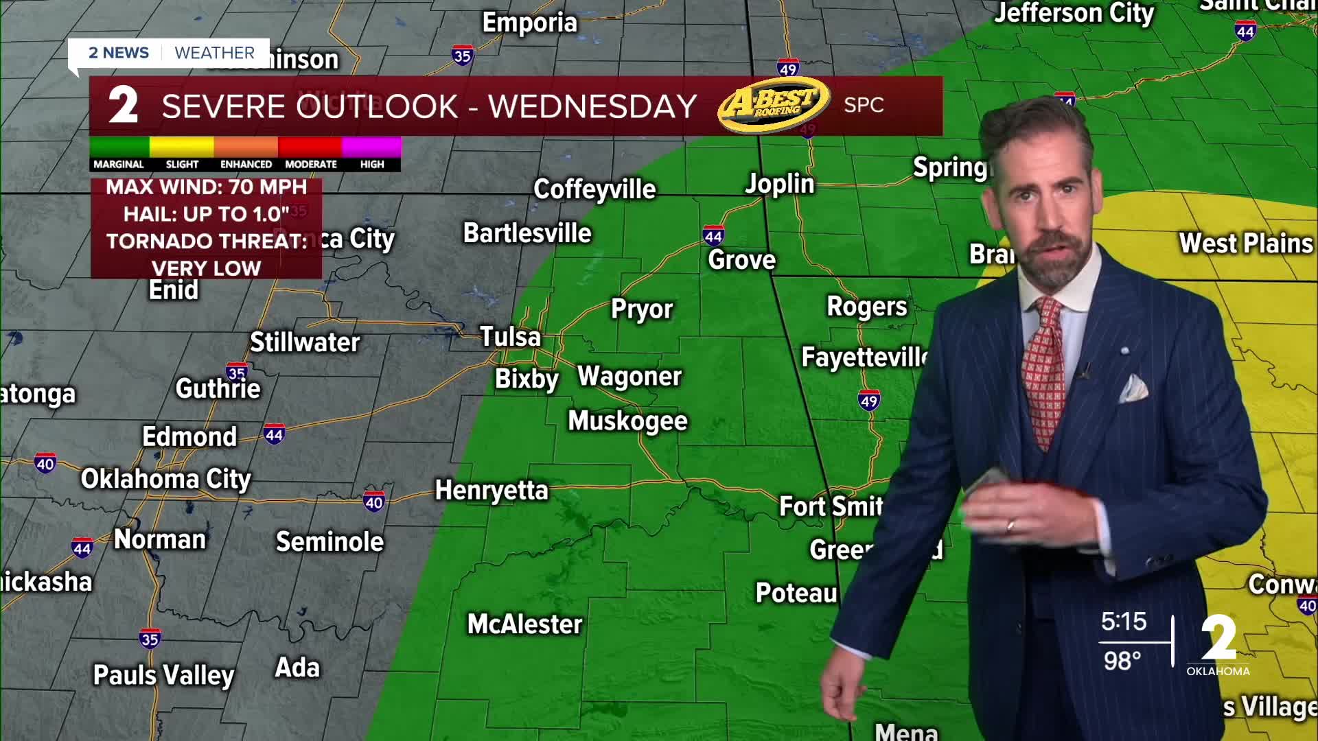
More widespread cloud cover and pockets of rain will hold back serious heat for most of Green Country on Wednesday. Highs will be in the lower 90s for most locations with a feel-like temperature closer to 100°. Showers and a few t-storms will become more widespread during the day. By afternoon, a few storms may reach severe limits with localized damaging wind gusts possible. The showers and storms should fade away or clear to the east by mid-evening.
In the wake of the storm system, expect slightly cooler, drier conditions for the rest of the week. Morning lows will dip into the 60s to near 70° and afternoon highs will run closer to average in the low to mid-90s through Saturday.
By the weekend, a warming trend takes hold as the high pressure (heat ridge) becomes more established over Oklahoma. This will bring back triple-digit highs and heat index values from the weekend through much of next week. This pattern will keep skies mostly clear with no meaningful chance of rain returning until early September.
Stay in touch with us anytime, anywhere --
- Download our free app for Apple, Android and Kindle devices.
- Sign up for daily newsletters emailed to you
- Like us on Facebook
- Follow us on Instagram
- Watch LIVE 24/7 on YouTube
