



TULSA, OKLA — Temperatures will remain warm overnight with lows holding in the mid/upper 70s. A few showers may be possible to start the day, but any rain should be light.
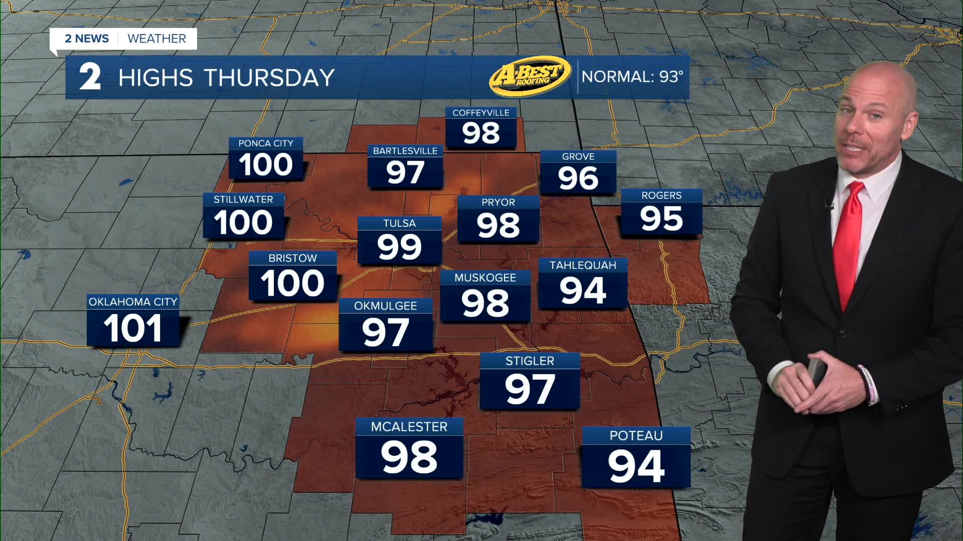
The heat ramps up even more Thursday afternoon as temperatures soar into the mid to upper 90s. Odds of hitting triple digits look higher west of HWY 75. Combined with the humidity, heat index values are expected to reach around 105 degrees, and heat advisories may be needed for parts of the area. If you’ll be outdoors, drink plenty of water, take frequent breaks in the shade or air conditioning, and avoid strenuous activity during the hottest part of the afternoon.
While most of Thursday will be dry, a few isolated storms could develop late in the day. Any storm that forms may become strong with gusty winds.
A weak front is expected to move toward the region Thursday night into Friday, bringing a better chance for scattered showers and thunderstorms. Several rounds of rain and storms are possible from Friday through the weekend, although the exact timing and coverage remain uncertain.
The good news is the front will also knock temperatures down closer to normal, and possibly even slightly below average, through the weekend and into early next week. While daily storm chances will linger, the extreme heat should ease before warmer temperatures gradually return later next week.
Stay in touch with us anytime, anywhere --
- Download our free app for Apple, Android and Kindle devices.
- Sign up for daily newsletters emailed to you
- Like us on Facebook
- Follow us on Instagram
- Watch LIVE 24/7 on YouTube
