

TULSA, OKLA. — We'll have mostly cloudy to cloudy skies tonight with patchy areas of mist and fog developing. The low in Tulsa down to 35°. South winds 5-15 mph.
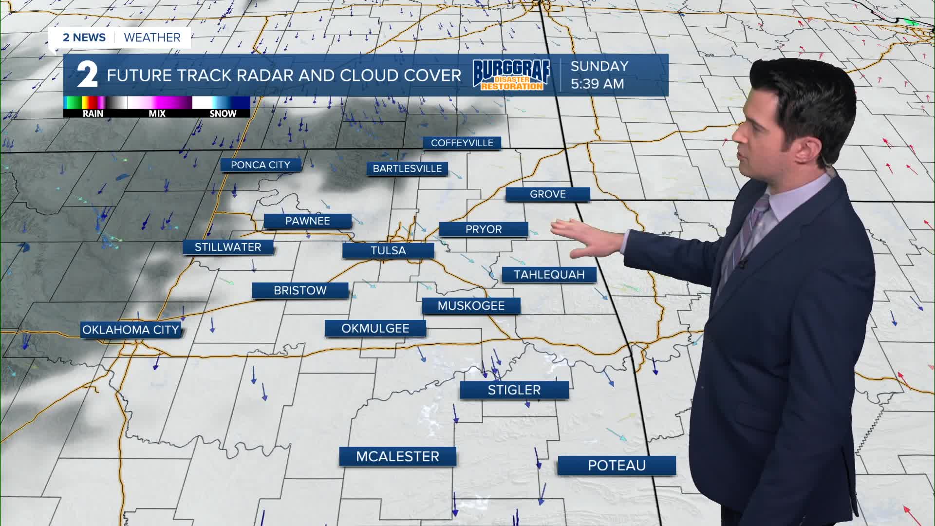
A cold front will move through the area Sunday morning keeping the cloud cover in play for us. Mostly cloudy skies with the high around 42°. North winds behind the front 10-15 mph with gusts up to 25 mph.
Low clouds will likely stick around for Monday morning in spots, then clearing is expected by the afternoon. Lows in the 20s with highs in the mid 40s. Light winds.
Mostly sunny skies on Tuesday with lows in the mid 30s and then daytime highs around 60°.
A weak cold front will push through lowering temps in the afternoon a bit for Wednesday and Thursday. Highs in the mid 50s with lows in the upper 30s (Thursday) to the low 40s (Wednesday). Partly cloudy skies.
A stronger cold front is timed out for next Friday with lows in the 20s and highs in the 30s.
As of now, next weekend looks chilly. Morning temps to start in the teens and 20s with highs in the 30s (Saturday) and 40s (Sunday).
Have a great rest of the weekend!
Stay in touch with us anytime, anywhere --
- Download our free app for Apple, Android and Kindle devices.
- Sign up for daily newsletters emailed to you
- Like us on Facebook
- Follow us on Instagram
- Watch LIVE 24/7 on YouTube
