

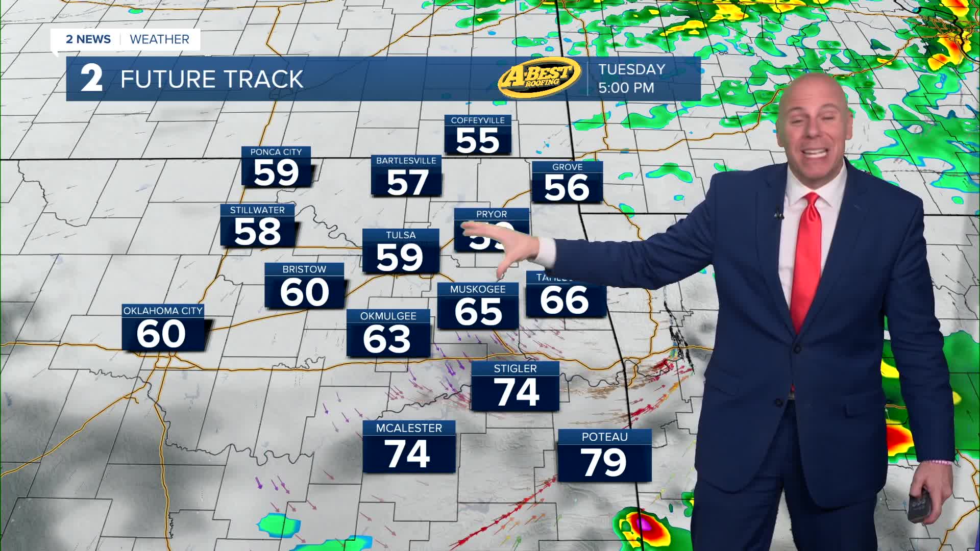


TULSA, Okla. — A few t-storms are possible by evening that may pose a threat for hail and locally damaging wind gusts, but not everyone will see rain.
On Tuesday, mostly cloudy with a chance for a spotty few showers. Across southeast Oklahoma during the afternoon to evening hours, there could be a few storms that might be strong to severe with mainly a wind and hail threat. Be prepared for a temperatures shift from morning to the afternoon and evening as cooler temps will move in behind a cold front. Gusty northerly winds take hold by afternoon with temperatures falling to the low 60s and upper 50s after midday highs near 70F.
For Wednesday, expect mostly cloudy skies with maybe a few sun breaks. Lows in the upper 40s with highs in the lower 60s. Northeast winds 10-15 mph.
Back to mostly sunny skies on Thursday. Starting out colder in the lower 40s with highs around 70° and a light north wind.
A warming trend takes hold by late this week as south winds return. A few showers and storms may return over Mother's Day weekend with seasonably warm, breezy conditions. A few showers and storms may be possible by Mother's Day as well.
Have a great week!
Stay in touch with us anytime, anywhere --
- Download our free app for Apple, Android and Kindle devices.
- Sign up for daily newsletters emailed to you
- Like us on Facebook
- Follow us on Instagram
- Watch LIVE 24/7 on YouTube
