

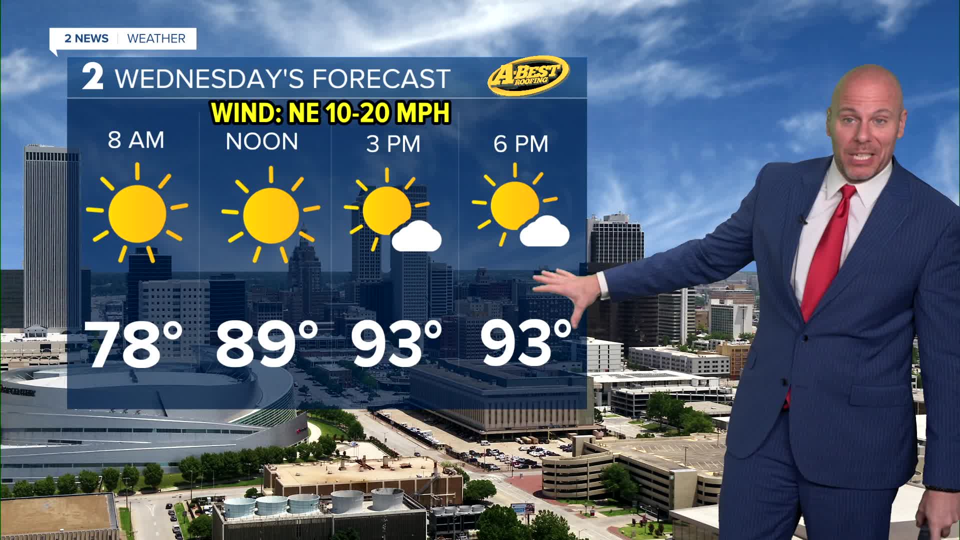


TULSA, OKLA — Wednesday will feature sunny skies, lower humidity, northeast winds, and afternoon highs in the mid-90s. While it will still be hot, the feel-like temperature will not stray far from actual temperatures and our temperatures will be right on track for average for this time of year.
Humidity will begin to increase Thursday as winds begin to turn more southerly. This may allow for scattered showers and t-storms to form, mainly north of Tulsa that morning. Another round of widely scattered showers and storms may occur Friday night into Saturday morning.
Minor rain chances late this week will not hold our warming trend back much. Heat builds from Friday into the weekend when triple-digit readings likely return for Sunday. The heat index will climb back into a dangerous range in this window of time as well. The heat wave will continue into next week with ample sunshine with multiple days of triple digit heat looking likely.
Do not let your guard down with the heat. Watch out for children, the elderly and pets who are especially vulnerable to heat illness both outside and in closed vehicles.
Stay in touch with us anytime, anywhere --
- Download our free app for Apple, Android and Kindle devices.
- Sign up for daily newsletters emailed to you
- Like us on Facebook
- Follow us on Instagram
- Watch LIVE 24/7 on YouTube
