

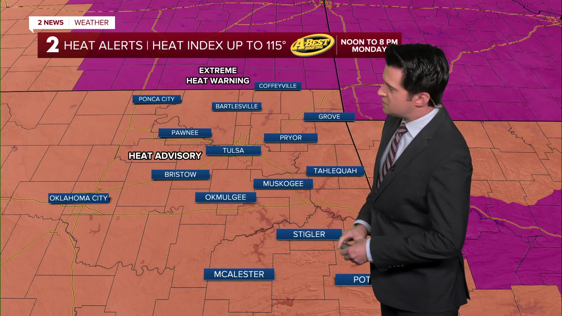


TULSA, OKLA. — ***MULTIPLE HEAT ALERTS ISSUED FOR EASTERN OKLAHOMA INTO SOUTHEAST KANSAS ON MONDAY*** PM HEAT INDEX 110°-115°
Triple digit highs Monday and Tuesday. Heat indices 110°+.
There are still signs that we'll have more cloud cover and a chance for some showers/t-storms mid to late week. As a result, temperatures will lower *by a few degrees* Wednesday through Friday. If clouds are scarce with no showers, highs will easily be 100°+ those days. If clouds are a little thicker with more showers, then afternoon temperatures will be lower than what is on the forecast.
In terms of next weekend, highs look to be in the low 90s following the passage of a front. These temperatures will be slightly below average for this time of year.
Have a great week ahead and stay cool!
Stay in touch with us anytime, anywhere --
- Download our free app for Apple, Android and Kindle devices.
- Sign up for daily newsletters emailed to you
- Like us on Facebook
- Follow us on Instagram
- Watch LIVE 24/7 on YouTube
