



TULSA, OKLA — **EXTREME HEAT WARNINGS AND HEAT ADVISORIES AREA-WIDE FROM NOON TO 9PM FRIDAY.***
Friday will remain hot and humid, with afternoon highs climbing to near 100-degrees. When humidity is factored in, it will feel more like 105 to 115 degrees, creating dangerous conditions for anyone spending time outdoors. An Extreme Heat Warning remains in effect for parts of eastern Oklahoma where the highest heat index values are expected.
While the heat will be the main story, a few storms will be possible. Initially chances will be highest north in the morning, then will shift south in the afternoon and evening as a front moves through. Some storms could produce locally heavy rainfall and gusty winds.
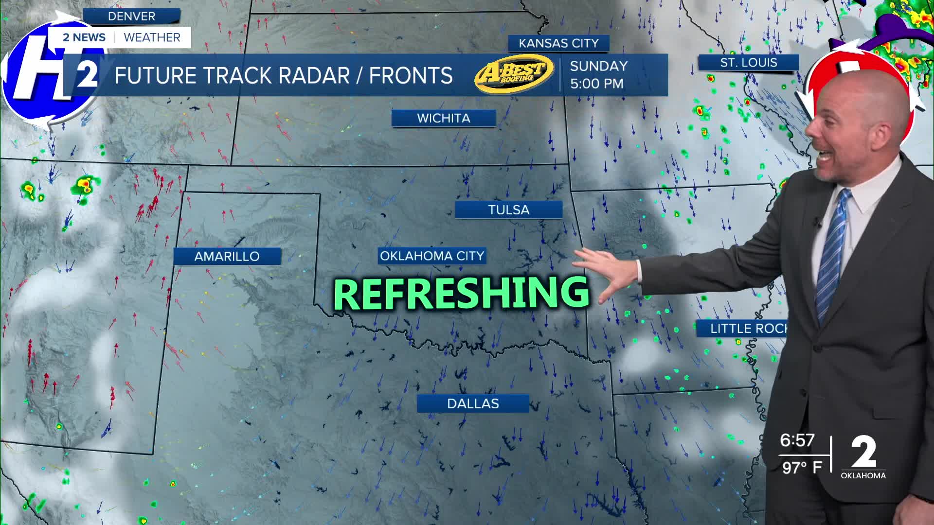
Behind the front is a perfectly timed cool down for your weekend plans!
Look for afternoon highs in the lower 90s—slightly below average for early August—and humidity levels will be noticeably lower. Some communities could even wake up to temperatures in the 60s early next week.
Enjoy the weekend as temperatures gradually warm back toward seasonal averages early next week to above average by the end of the week.
Stay in touch with us anytime, anywhere --
- Download our free app for Apple, Android and Kindle devices.
- Sign up for daily newsletters emailed to you
- Like us on Facebook
- Follow us on Instagram
- Watch LIVE 24/7 on YouTube
