

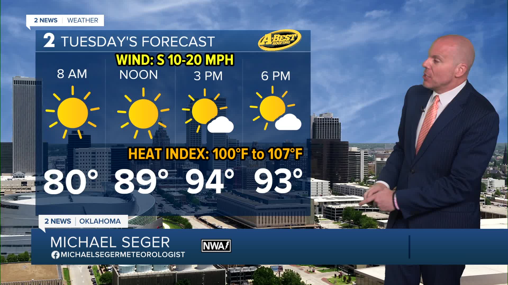


TULSA, OKLA — A typical summer weather pattern is in place for our region this week. Heat, humidity and breezy conditions are with us each day.
Expect a mix of sunshine and passing clouds each day. Afternoon high temperatures will climb into the mid-90s, while overnight lows stay unusually warm in the upper 70s to around 80°. The heat index (feel-like temperature) will exceed the century mark each afternoon as well. Southerly winds will be strong with gusts to 30 mph Monday afternoon before lessening a bit into midweek.
A weak disturbance may trigger some pop-up showers or t-storms in parts of Green Country by Thursday afternoon. Otherwise, expect dry conditions until the end of the holiday weekend when a weak boundary drops into the area with another limited chance of rain.
Speaking of the holiday weekend, Independence Day will be a sweltering one this year. High temperatures by the weekend will climb into the upper 90s with a heat index remaining above 100° for the afternoon hours.
A few pop-up thunderstorm chances may return as we wrap up the holiday Weekend on Sunday. Severe weather is not expected, but be mindful of any nearby lightning if your plans take you outdoors.
Stay in touch with us anytime, anywhere --
- Download our free app for Apple, Android and Kindle devices.
- Sign up for daily newsletters emailed to you
- Like us on Facebook
- Follow us on Instagram
- Watch LIVE 24/7 on YouTube
