

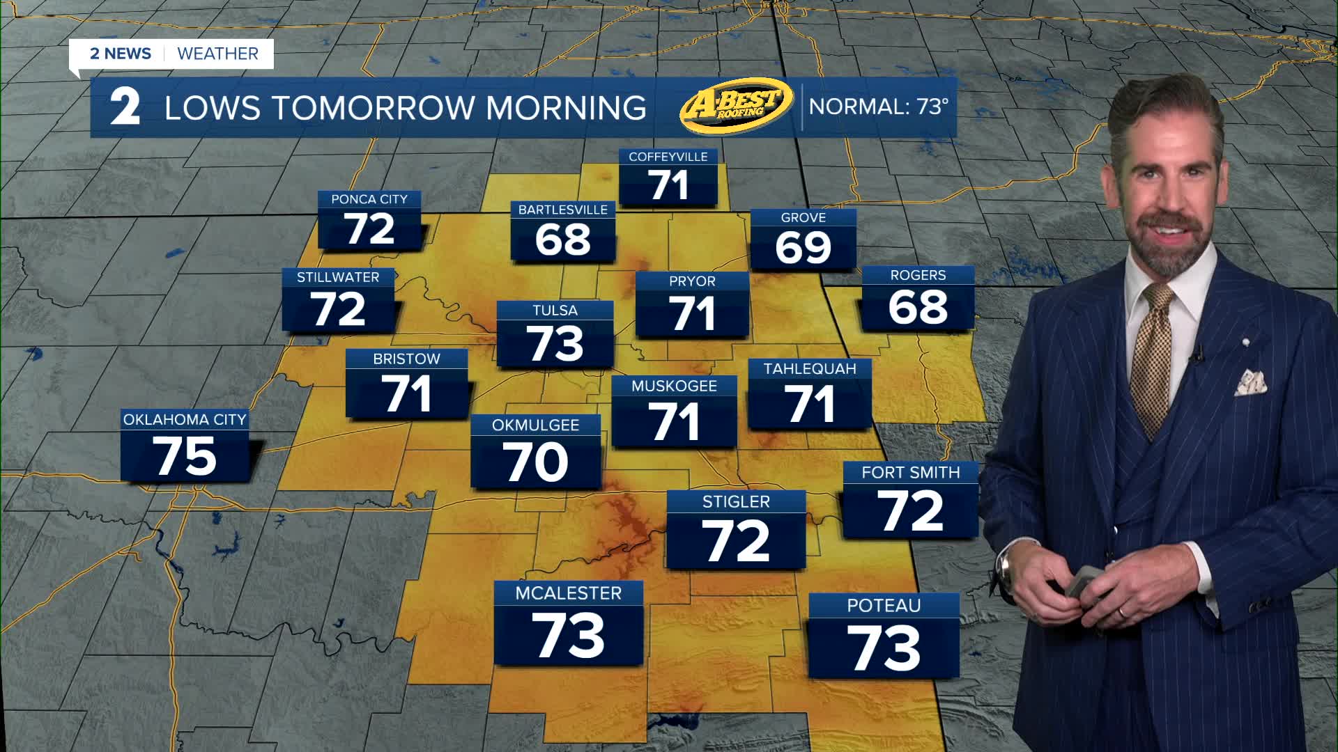


TULSA, OKLA — Mostly clear and warm overnight and into Tuesday mornings. Temperatures will dip into the lower 70s by dawn with a light south breeze.
The heat ramps up tomorrow as a strong area of high pressure builds overhead. Highs are expected to reach 100° with heat index values around 105° by afternoon. The temperatures and heat index will likely rise another few degrees by Wednesday making it our hottest day of the week.
If you have to be outdoors, limit strenuous activity during the hottest part of the day, drink plenty of water, and check on children, older adults, and pets.
Rain chances return by Wednesday, especially in far northeastern OK and southeastern KS. Te downpours become a little more widespread by Thursday and Friday as a weak cold front approaches the region. While not everyone will see rain, the best chance for showers and thunderstorms will be along and north of I-40. Any storms that develop could produce locally heavy rainfall and gusty winds.
Even with the late-week rain chances, temperatures will remain hot, with highs staying in the 90s and feel like temperatures near or above the century mark. The heat will start to build again this weekend into early next week, bringing a return to triple-digit readings.
Stay in touch with us anytime, anywhere --
- Download our free app for Apple, Android and Kindle devices.
- Sign up for daily newsletters emailed to you
- Like us on Facebook
- Follow us on Instagram
- Watch LIVE 24/7 on YouTube
