

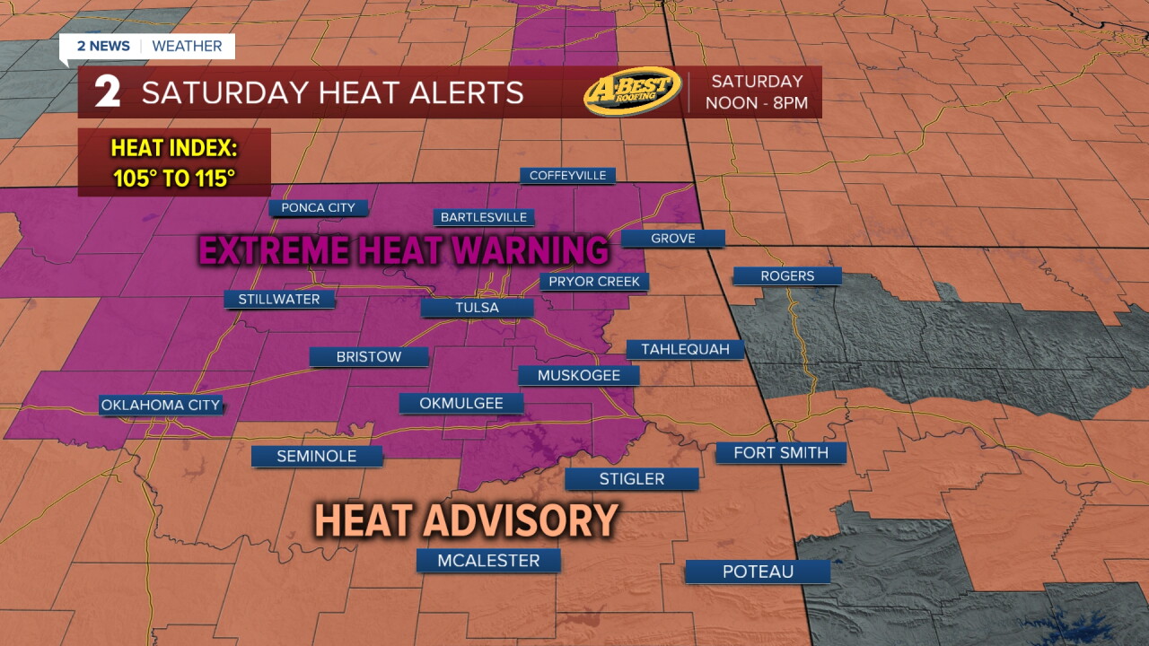


TULSA, OKLA — The break from serious heat is coming to an end. Showers are tapering off this evening leaving us with mostly dry, partly cloudy conditions overnight and into Saturday morning. Temperatures will drop through the 80s to the upper 70s for lows.
Expect partly to mostly sunny skies on Saturday with temperatures rising into the upper 90s by afternoon. Dangerous heat index values around 110° are likely through early evening.
Sunday will be similar with morning lows only around 80° and actual highs at or above 100°. Skies will be mostly clear.
Triple-digit heat is with us for the rest of the month. The heat wave peaks early next week with the hottest air in three years settling into the region thanks to a broad heat ridge building overhead, forcing the jet stream and storm track away from Oklahoma. This locks us into above-average temperatures and ample sunshine. Highs may reach 105° or above through midweek. The silver lining is a slight drop in humidity. Still, daily feel-like temperatures will be close to 110°.
Slight rain chances return for the second half of next week as the storm track drops back closer to our region. A weak cold front should arrive in about a week bringing temperatures back closer to seasonable levels.
As the heat intensifies, limit time outdoors during the hottest part of the day, stay hydrated, and never leave children or pets inside a parked vehicle. Older adults, young children, and anyone working outside will be especially vulnerable as dangerous heat returns.
Stay in touch with us anytime, anywhere --
- Download our free app for Apple, Android and Kindle devices.
- Sign up for daily newsletters emailed to you
- Like us on Facebook
- Follow us on Instagram
- Watch LIVE 24/7 on YouTube
