



TULSA, OKLA. — After another day of temperatures soaring well beyond the century mark, a weak cold front is arriving. This will bring a light north wind, a modest cool-down, and a slight chance for a few rounds of rain.
The first chance is this evening in areas near I-40 in far eastern Oklahoma. Only isolated downpours are expected. Overnight into Thursday morning, showers and a few storms may pop up, mainly in northeast and east-central Oklahoma. This is Tulsa's best chance of rain for the rest of the week.
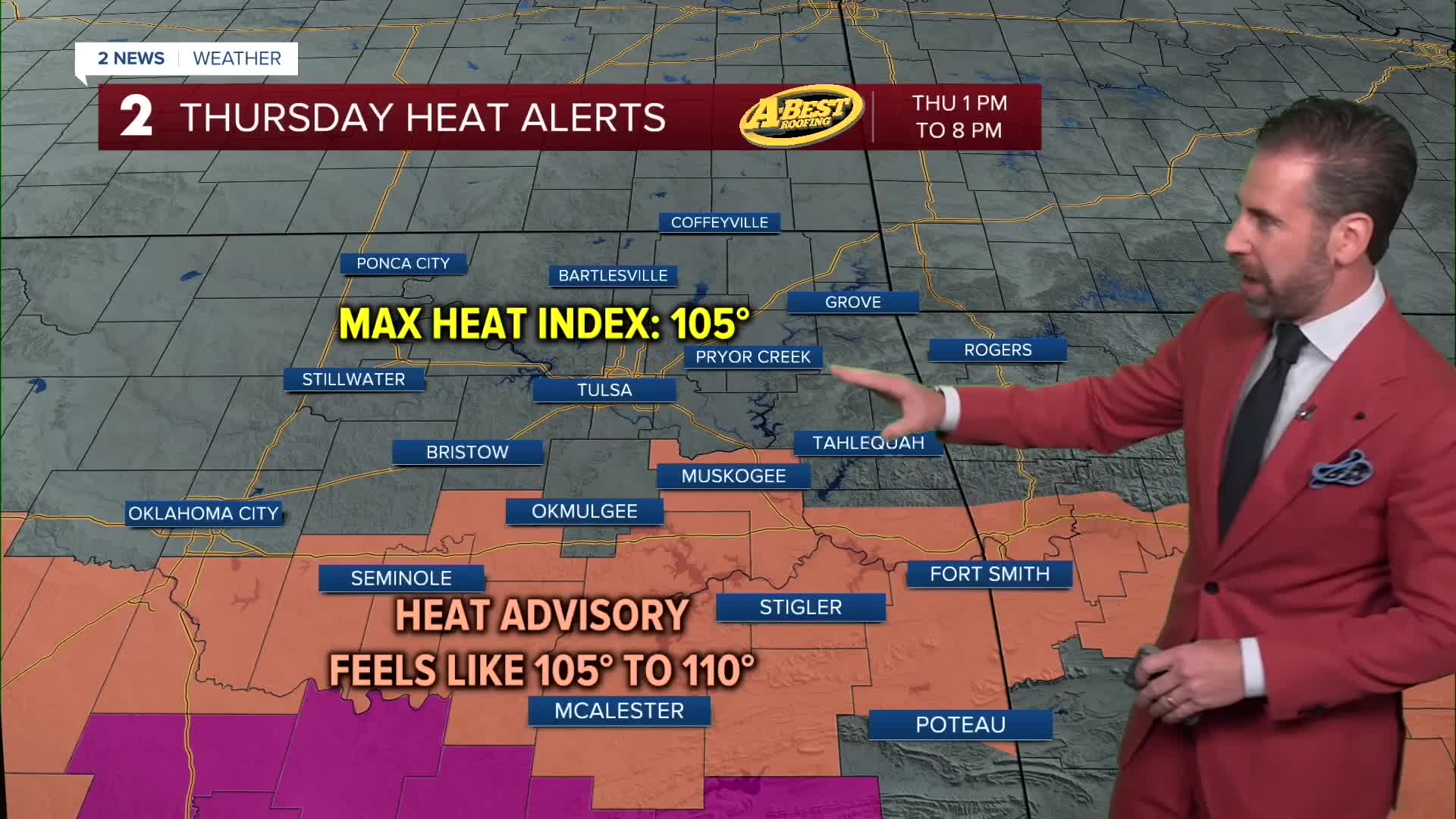
Thursday will be a little cooler with morning lows back in the 70s. Highs will climb into the upper 90s to near 100° with heat index values again topping 100° in many locations. A few late-day t-storms may fire up again, mainly south of Tulsa.
More showers and storms are possible Friday morning across northeast Oklahoma. Otherwise, hotter than average weather pattern rolls into the day and weekend with ample sunshine and highs returning to 100° or above. This weather pattern with triple-digit heat will last through the middle of next week with limited rain chances in this range of time.
The combination of extreme heat, very limited rainfall, dry vegetation, and occasional gusty winds is increasing fire weather concerns in the region.
Avoid outdoor burning whenever possible, and use extra caution with anything that could spark a fire.
Stay in touch with us anytime, anywhere --
- Download our free app for Apple, Android and Kindle devices.
- Sign up for daily newsletters emailed to you
- Like us on Facebook
- Follow us on Instagram
- Watch LIVE 24/7 on YouTube
