

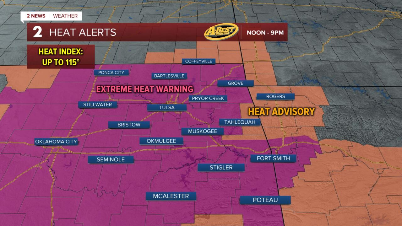



TULSA, OKLA — ***EXTREME HEAT WARNINGS AND HEAT ADVISORIES AREA-WIDE UNTIL 9 PM.***
An incoming cold front may also spark scattered t-storms this evening south of I-44, which may pose a threat for locally damaging wind gusts and torrential rainfall. Most areas will stay dry and the threat for storms should clear by 11pm.
Behind the cold front, much cooler and less humid air will settle into the region for the weekend. Afternoon highs will struggle to climb above 90° and overnight lows will dip into the 60s by Sunday morning. Expect ample sunshine and dry weather with a refreshing northerly breeze.
The below average and more comfortable readings will not stick around for too long. Temperatures will gradually climb back toward seasonal averages early next week before triple-digit heat in the second half of next week as the heat ridge becomes re-established over the Southern Plains. While the heat will build again, humidity levels are expected to stay lower than they have been this week, making conditions a little more tolerable.
Stay in touch with us anytime, anywhere --
- Download our free app for Apple, Android and Kindle devices.
- Sign up for daily newsletters emailed to you
- Like us on Facebook
- Follow us on Instagram
- Watch LIVE 24/7 on YouTube
