

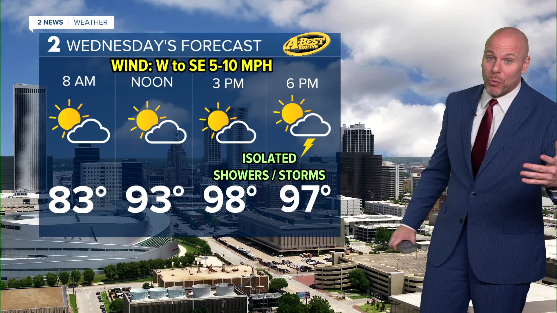


TULSA, OKLA — ***HEAT ADVISORY IN EFFECT FOR GREEN COUNTRY FROM NOON TO 9 PM WEDNESDAY.***
A slight chance of a shower will remain tonight, mostly north and east of the metro. Most of us will stay dry and warm with Wednesday lows ranging from mid 70s to low 80s.
The weather pattern begins to change Wednesday as the strong upper-level ridge shifts west, allowing a weak cold front and a few upper-level disturbances to move into the region. This will bring about a rise in shower and t-storm coverage across Green Country for the second half of the work week. Not everyone will see rain everyday, but the hit-or-miss chance will be there.
A few rounds of spotty downpours are possible through Friday. While not everyone will see rain, Friday's cold front offers the best opportunity of the week for meaningful rain and additional cloud cover, both of which could help keep temperatures in check.
Still, it will be hot and very humid from Wednesday through Friday. Morning lows will be in the upper 70s with afternoon highs in the upper 90s. Heat index values will stop top out in triple-digit territory as well.
The biggest change arrives this weekend. Behind Friday’s cold front, a northerly breeze will usher in cooler and drier air with afternoon highs dropping into the lower 90s— which is slightly below average to start August. Morning lows may even reach the 60s in spots. After several days of dangerous heat, the cooler temperatures will provide a welcome break as we head into the first weekend of the new month.
Stay in touch with us anytime, anywhere --
- Download our free app for Apple, Android and Kindle devices.
- Sign up for daily newsletters emailed to you
- Like us on Facebook
- Follow us on Instagram
- Watch LIVE 24/7 on YouTube
