

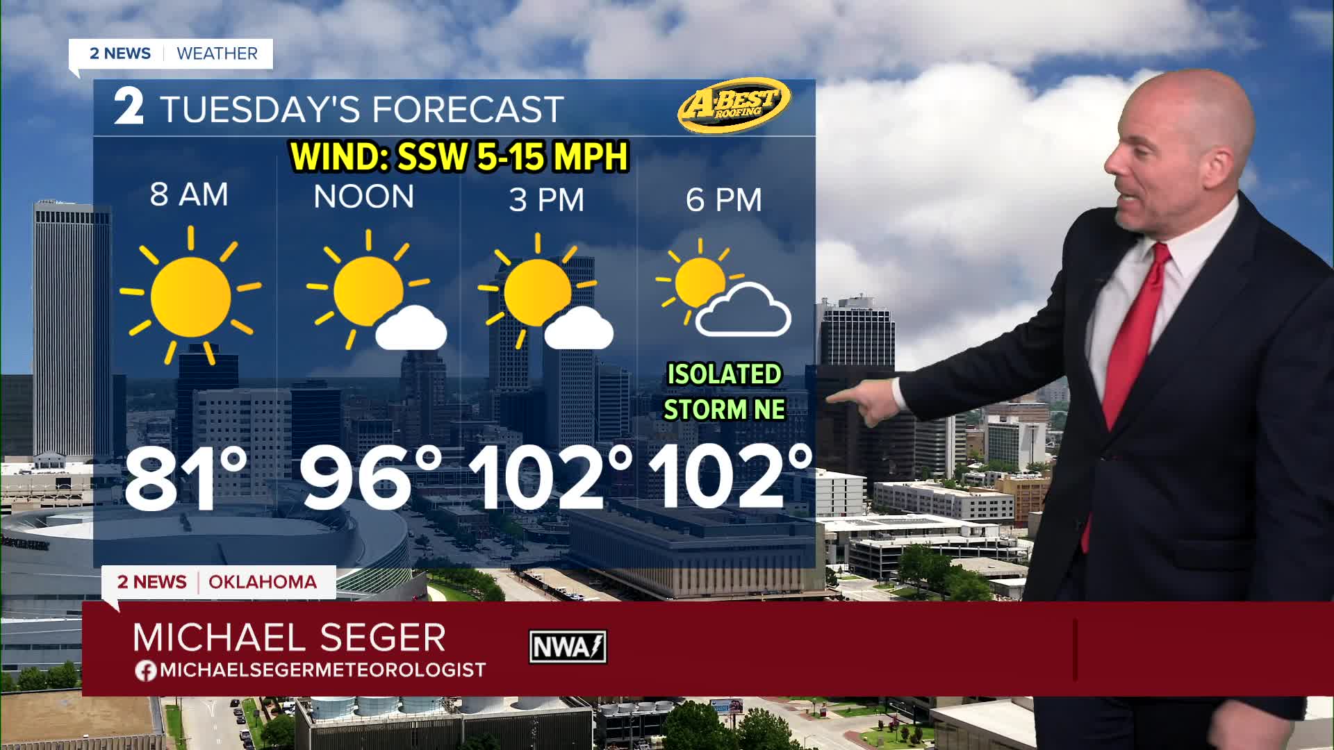


TULSA, OKLA — ***EXTREME HEAT WARNINGS AND HEAT ADVISORIES AREA-WIDE TUESDAY FROM NOON UNTIL 8 PM.***
Expect a quiet night with as temperatures only drop into the lower 80s to upper 70s again tonight with quiet conditions. Dangerous heat returns Tuesday with highs back above the century mark and heat index values over 110-degrees over much of the area. there is a chance for a few isolated storms to develop late Tuesday afternoon and evening across north and northeast parts of the region.
Anyone spending time outdoors should limit strenuous activity, take frequent breaks, stay hydrated, and never leave children or pets in vehicles.
The heat eases slightly Wednesday through Friday as a weak cold front approaches and the upper-level ridge begins shifting west. However, the amount of cooling will depend on cloud cover and rainfall. A few rounds of showers and t-storms are possible through Friday. The best chance for a meaningful downpour comes late in the week with a stronger cold front.
Temperatures will likely reach the mid/upper 90s Wednesday through Friday with some places still dealing with triple-digit temperatures. A bigger cool-down comes this weekend with a northerly breeze and temperatures falling into the lower 90s for highs - not a bad way to begin the month of August!
Stay in touch with us anytime, anywhere --
- Download our free app for Apple, Android and Kindle devices.
- Sign up for daily newsletters emailed to you
- Like us on Facebook
- Follow us on Instagram
- Watch LIVE 24/7 on YouTube
