

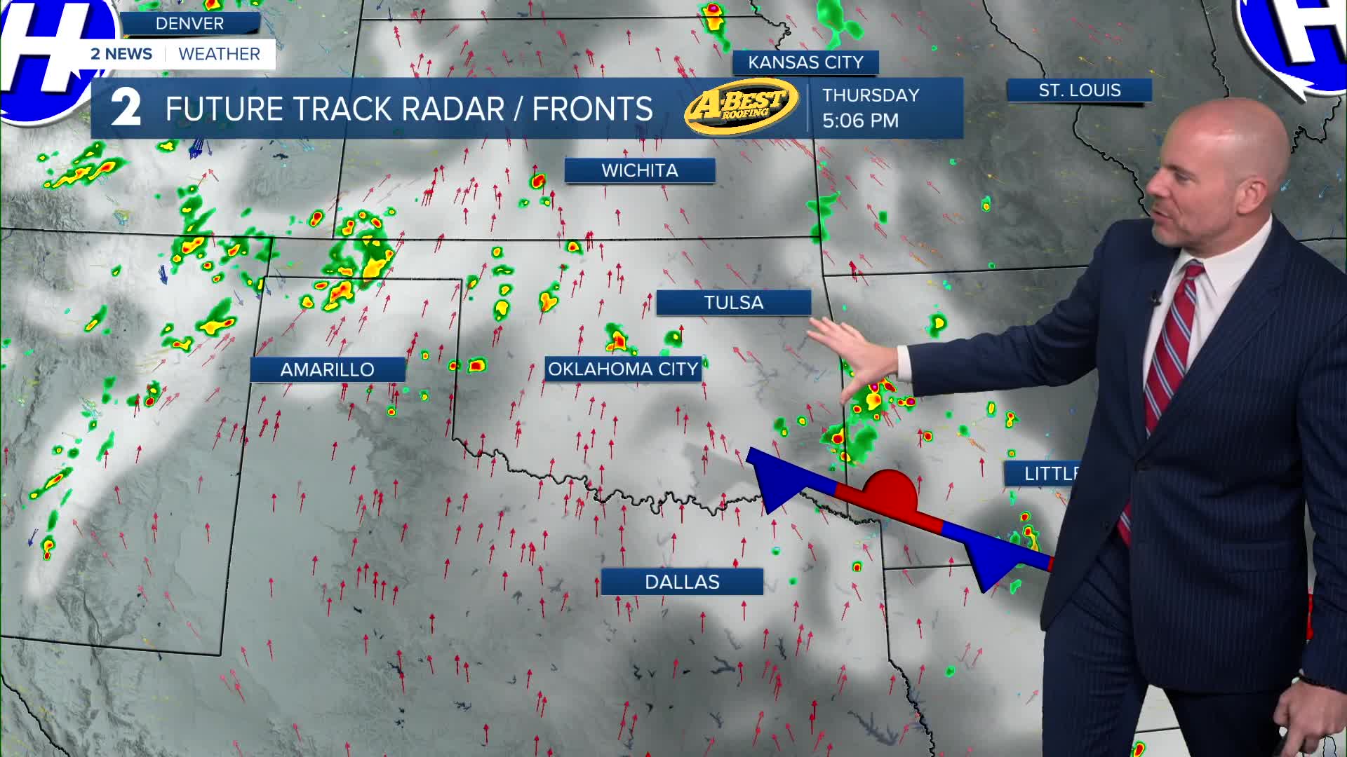


TULSA, OKLA. — ***HEAT ADVISORIES AREA-WIDE FROM NOON TO 9PM THURSDAY.***
Any pop-up showers and storms will diminish afternoon sunset, but we'll keep a slight chance in the forecast through daybreak. Overnight lows will range from mid 70s to low 80s.
Thursday will remain hot and humid with afternoon highs in the mid/upper 90s. A few isolated pop-up showers and storms will be possible, but many of us will remain dry. Heat index values up to 110-degrees are possible.
Another day of dangerous heat is expected Friday before a cold front moves through the region. A few showers and storms may be possible Friday ahead of the front, but the bigger story will be the relief behind the front just in time for the weekend!
Behind it, cooler and drier air will settle into Green Country for the weekend and early next week. Afternoon highs will drop into the lower 90s, which is slightly below average for early August, while some communities could wake up to morning temperatures in the 60s.
Stay in touch with us anytime, anywhere --
- Download our free app for Apple, Android and Kindle devices.
- Sign up for daily newsletters emailed to you
- Like us on Facebook
- Follow us on Instagram
- Watch LIVE 24/7 on YouTube
