

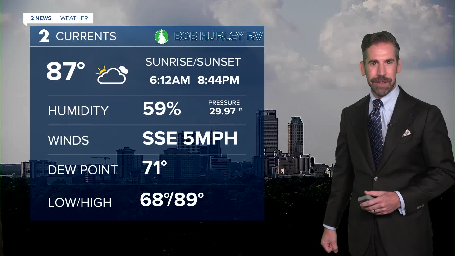


It is a quiet end to the holiday weekend. Temperatures will drop from the 80s this evening into the 70s overnight with lows by Monday morning around 70°.
A few pop-up showers and t-storms are possible Monday in far eastern and southeastern Oklahoma. Otherwise, expect a dry and seasonable start to the work week. Temperatures will only reach the lower 90s the next few afternoons with a heat index at or below the century mark.
By midweek, a surge of hotter air is expected, bringing highs into the mid and upper 90s for highs with a heat index well over 100°. Thursday appears to be the hottest day of the week.
Late in the week, a weak cold front may dip into parts of the area. This brings a chance of a few rounds of rain and storms and a very modest cool-down, closer to seasonal averages.
Stay in touch with us anytime, anywhere --
- Download our free app for Apple, Android and Kindle devices.
- Sign up for daily newsletters emailed to you
- Like us on Facebook
- Follow us on Instagram
- Watch LIVE 24/7 on YouTube
