

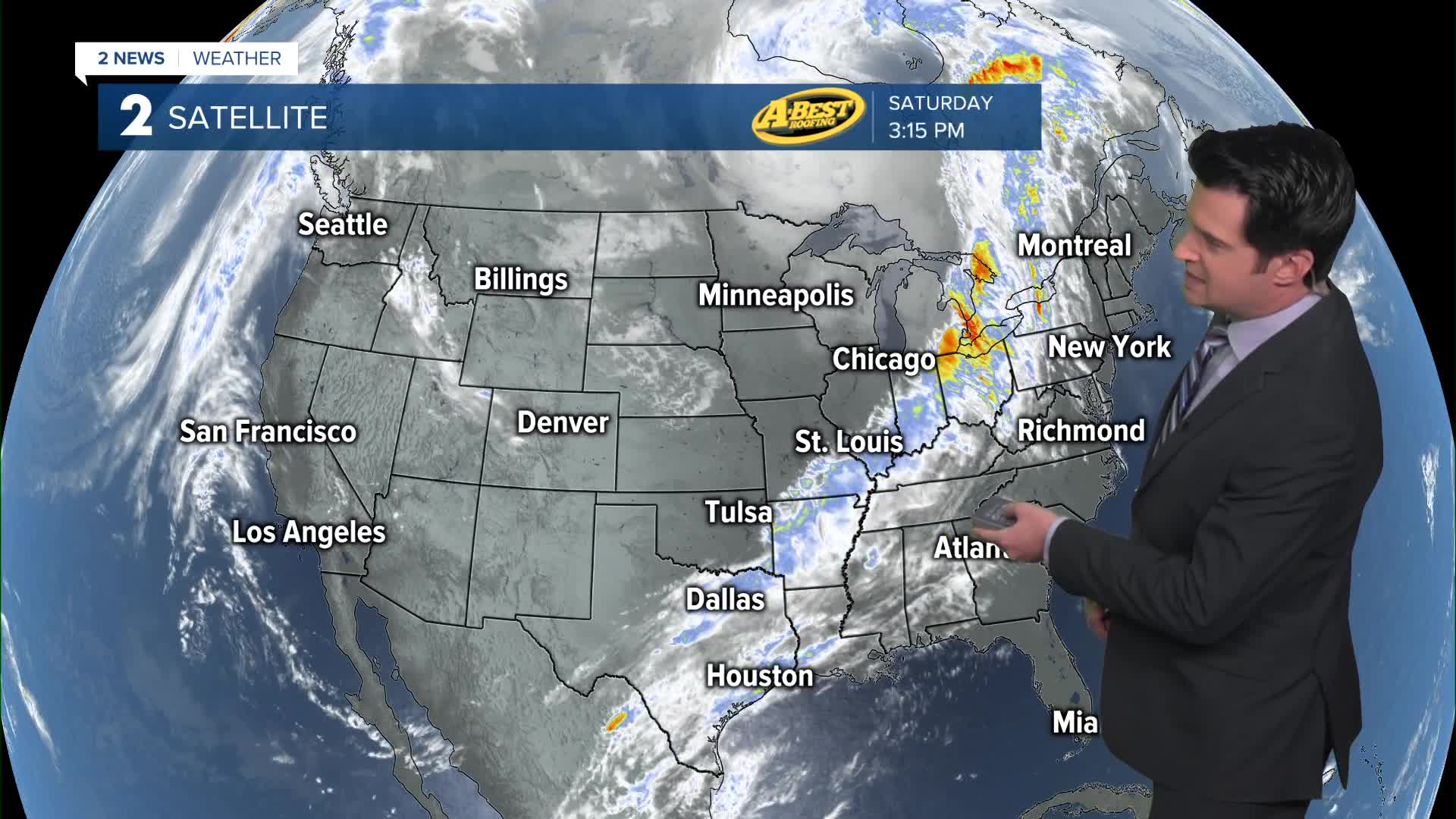


TULSA, OKLA. — We'll have clear skies tonight, with the low in Tulsa down to 41°. Outlying spots will see 30s with maybe some patchy frost in sheltered valley locations. SE, then SW winds 5-10 mph.
Mostly sunny on Sunday with some higher clouds for some into the mix. The high up to 74°. SW winds 5-15 mph.
Lots of sunshine on Monday as well. Lows in the upper 40s with highs in the mid to upper 70s. South winds 10-15 mph.
Lows a bit warmer in the low 50s to start Tuesday and then low 70s for highs. Partly cloudy. South winds 10-20 mph.
Thicker clouds on Wednesday with maybe some sunbreaks thrown in. Lows in the upper 50s with highs in the mid 70s. South winds 10-20 mph.
Mostly cloudy to cloudy on Thursday with lows in the mid 60s and highs into the upper 70s. Look for an increasing chance for showers and storms late day ahead of a cold front. South winds 15-25 mph. Some of the storms could be strong to severe.
The cold front looks to move through Green Country early Friday morning with the storm threat pushing out by afternoon and north winds filtering in.
Stay in touch with us anytime, anywhere --
- Download our free app for Apple, Android and Kindle devices.
- Sign up for daily newsletters emailed to you
- Like us on Facebook
- Follow us on Instagram
- Watch LIVE 24/7 on YouTube
