

**WINTER WEATHER ADVISORY FOR A FEW COUNTIES IN EASTERN OKLAHOMA, INCLUDING TULSA COUNTY FROM 3 AM UNTIL 3 PM THURSDAY**
We'll see cloudy skies tonight with the low in Tulsa down to 27°. NNE winds 10-15 mph with gusts to 25 mph as a cold front moves in. Chance for some drizzle developing after midnight, then turning into possible freezing drizzle by morning.
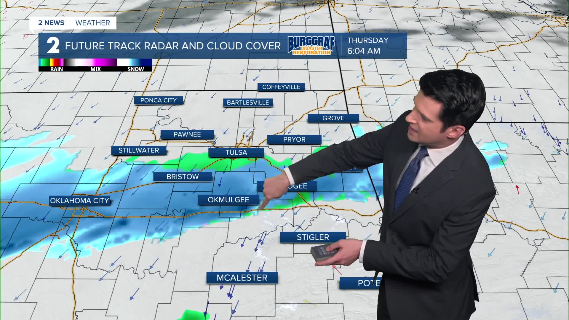
Look for a wintry mix in the morning on your Thursday and wind chills in the teens to around 20°. We could have freezing drizzle in northeast Oklahoma into southeast Kansas. A band of snow and sleet could move through east-central Oklahoma. This band could be anywhere from the Tulsa area and off to the south, north of McAlester. If the band holds together, we could certainly have snow and sleet accumulations. Heads up for the morning commute time. By early afternoon, the moisture should mostly be out of Green Country. Look for a high around 36°. NNE winds 10-20 mph.
Back to mostly sunny on Friday. Lows in the mid 20s and highs in the upper 40s.
Partly cloudy on Saturday with morning temps in the low 30s and then around 50° for the afternoon.
Behind a cold front on Sunday, lows in the mid 30s with highs in the low 40s. Mostly cloudy.
A warming trend is slated for next week. However, on Monday, morning temps in the mid 20s with daytime highs in the upper 40s.
Lows just above freezing in Tulsa Tuesday morning and then we'll have upper 50s for the afternoon.
The morning on Wednesday will start out in the low 40s and then finish in the low 60s as south winds take over for the first part of next week.
Stay in touch with us anytime, anywhere --
- Download our free app for Apple, Android and Kindle devices.
- Sign up for daily newsletters emailed to you
- Like us on Facebook
- Follow us on Instagram
- Watch LIVE 24/7 on YouTube
