

TULSA, Okla. — Mostly cloudy, mild, humid and breezy tonight into early Thursday with morning lows in the upper 50s.
A more unsettled pattern is expected to develop Thursday and lasting through the weekend. Several rounds of showers and thunderstorms are expected as a stronger storm system moves into the Plains.
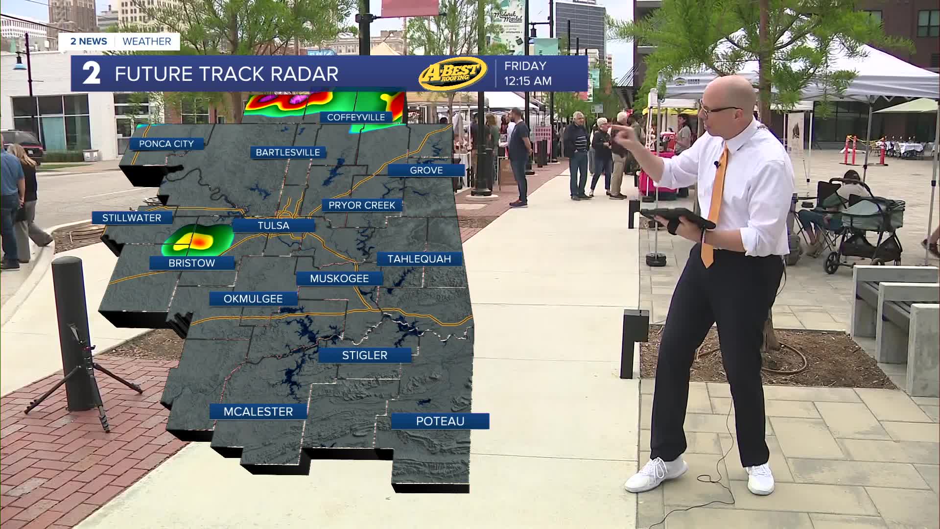
The first chance for severe weather is Thursday night into Friday morning as a cold front approaches. Some of those storms could have damaging wind gusts and large hail, mainly north of Tulsa Thursday night. The storms will weaken into Friday morning as they drop southward. However, some storms may re-fire with afternoon heating Friday with a continued severe weather risk.
A small lull in storm activity is expected Friday night into Saturday morning. However, more thunderstorms appear likely starting late in the day Saturday as warm, moist air readily returns in the presence of strong wind shear. This may lead to a round of strong to severe storms Saturday night and possibly again Sunday as well. Stay aware of the weekend storms as we continue to refine the timing and threats of this forecast.
Conditions will remain mild and breezy with highs generally in the 70s to mid 80s into early next week.
Make sure to stay updated with the latest data as we get closer.
Stay in touch with us anytime, anywhere --
- Download our free app for Apple, Android and Kindle devices.
- Sign up for daily newsletters emailed to you
- Like us on Facebook
- Follow us on Instagram
- Watch LIVE 24/7 on YouTube
