



TULSA, Okla. — We'll see some increasing high clouds tonight coming in from the northwest. SSW winds 10-15 mph with gusts up to 25 mph. The low in Tulsa down to 63°.
Clouds will be moving in and building through the day on your Monday eventually becoming partly cloudy. The high up to 83° in Tulsa. SSW winds 15-25 mph with gusts up to 35 mph. Chance for a few showers and thunderstorms mainly north of Tulsa at night. There could be an isolated strong to severe storm with mainly a wind and hail threat.
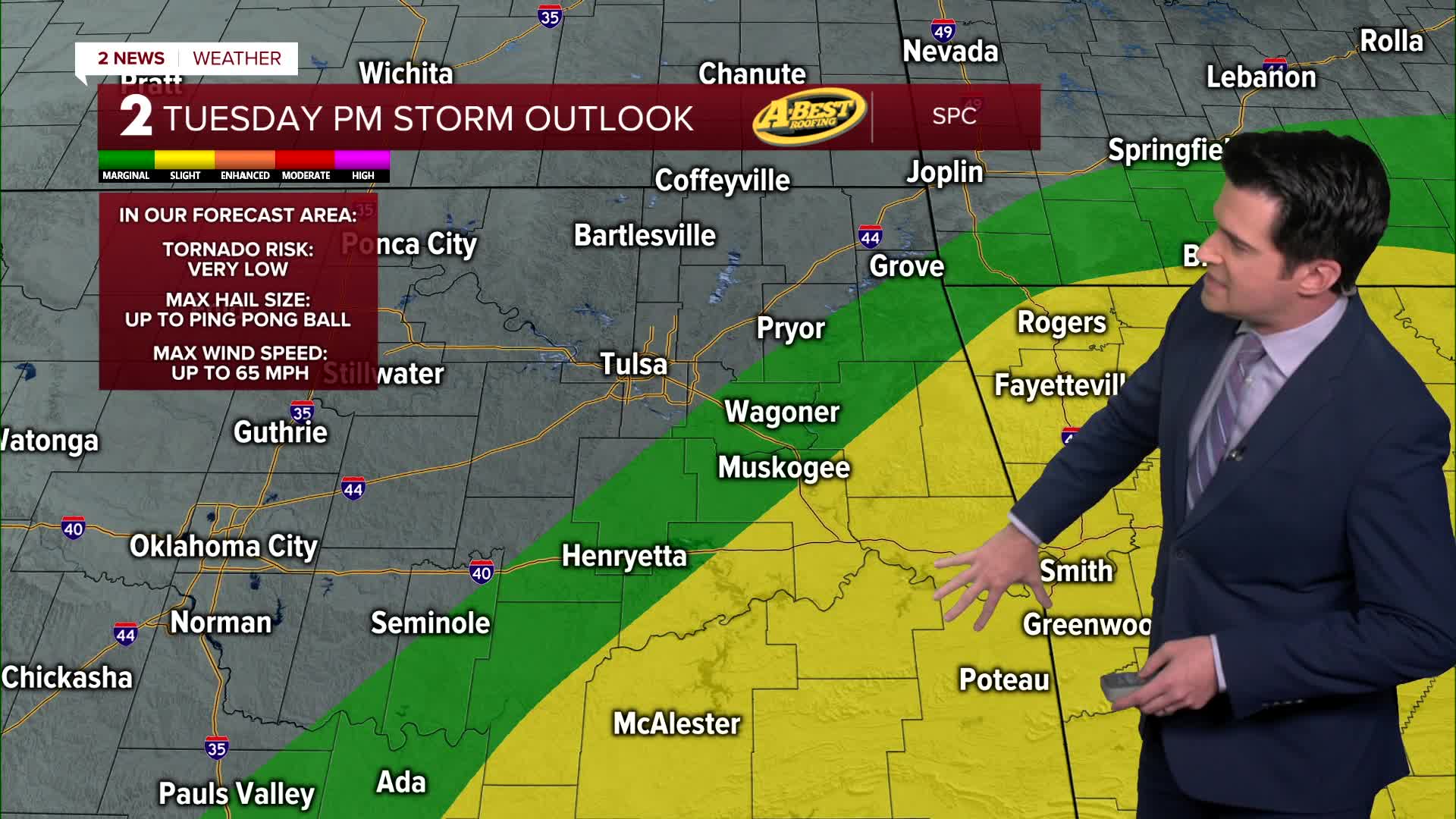
On Tuesday, mostly cloudy with a chance for a few showers and thunderstorms. Across southeast Oklahoma during the afternoon to evening hours, there could be a few storms that might be strong to severe with mainly a wind and hail threat. Northeast winds 15-25 mph. The high around 74° earlier in the day with temperatures dropping through the day behind a cold front.
For Wednesday, mostly cloudy skies with maybe a few sunbreaks. Lows in the upper 40s with highs in the low 60s. Northeast winds 10-15 mph.
Back to mostly sunny skies on Thursday. Starting out colder in the low 40s with highs around 70°. North winds 5-15 mph.
Still looking at mostly sunny on Friday. Lows in the lower 50s with highs in the low 80s. South winds 10-20 mph.
Over the upcoming Mother's Day Weekend, partly cloudy skies with the chance for a few showers. Lows in the upper 50s to near 60° with highs around 80° on Saturday and then mid to upper 70s on Sunday.
Have a great week ahead!
Stay in touch with us anytime, anywhere --
- Download our free app for Apple, Android and Kindle devices.
- Sign up for daily newsletters emailed to you
- Like us on Facebook
- Follow us on Instagram
- Watch LIVE 24/7 on YouTube
