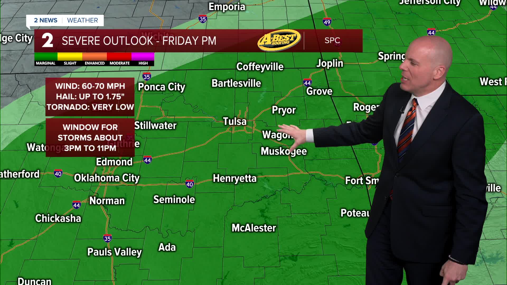


TULSA, Okla. — We'll enjoy a pleasant night across Green Country! Friday morning lows will range from low 50s, to perhaps a few mid/upper 40s closer in eastern portions of the region. We'll recover quick with highs in the lower 80s with ample sunshine through early afternoon. A round of t-storms is likely by late afternoon into the evening posing a threat for hail, gusty winds and heavy downpours as a cold front moves in from the northwest.
Saturday may begin with patchy fog followed by ample sunshine and warm conditions. Highs will be in the mid-80s with light winds. Another round of rain and storms is expected Saturday night into Sunday morning ahead of an approaching cold front. Some severe weather risk could develop if storms organize into a larger complex while moving southeast across the region, but the overall threat should remain limited.
Rain and thunder may linger into at least Mother's Day morning with some clearing expected by afternoon as a blustery north wind takes hold with highs in the low-70s.
Much warmer air looks to return next week with modest storm chances returning mid to late week.
Stay in touch with us anytime, anywhere --
- Download our free app for Apple, Android and Kindle devices.
- Sign up for daily newsletters emailed to you
- Like us on Facebook
- Follow us on Instagram
- Watch LIVE 24/7 on YouTube
