

TULSA, Okla. — We'll have mostly cloudy skies tonight with a chance for some showers and t-storms crossing the area. The low in Tulsa down to 43° behind a cold front. North winds 10-15 mph with gusts 20-25 mph.
Mostly cloudy on Monday with only a 20% chance for a stray shower. The high in Tulsa reaching 56°. NNE winds 5-15 mph.
Lows in the lower 50s Tuesday and then daytime highs in the upper 70s. South winds breezy 15-25 mph with higher gusts. A sun/cloud mix with emphasis on cloud cover. A 20% chance for a shower.
Mostly cloudy on Wednesday with some showers and t-storms in Green Country with a cold front in the area. Some of the storms could be strong to severe. Lows in the upper 50s with highs near 70°. North winds 5-15 mph.
Lows down to the low 50s on Thursday. Mostly cloudy with a slim chance for a few showers and t-storms. Daytime highs in the mid 70s.
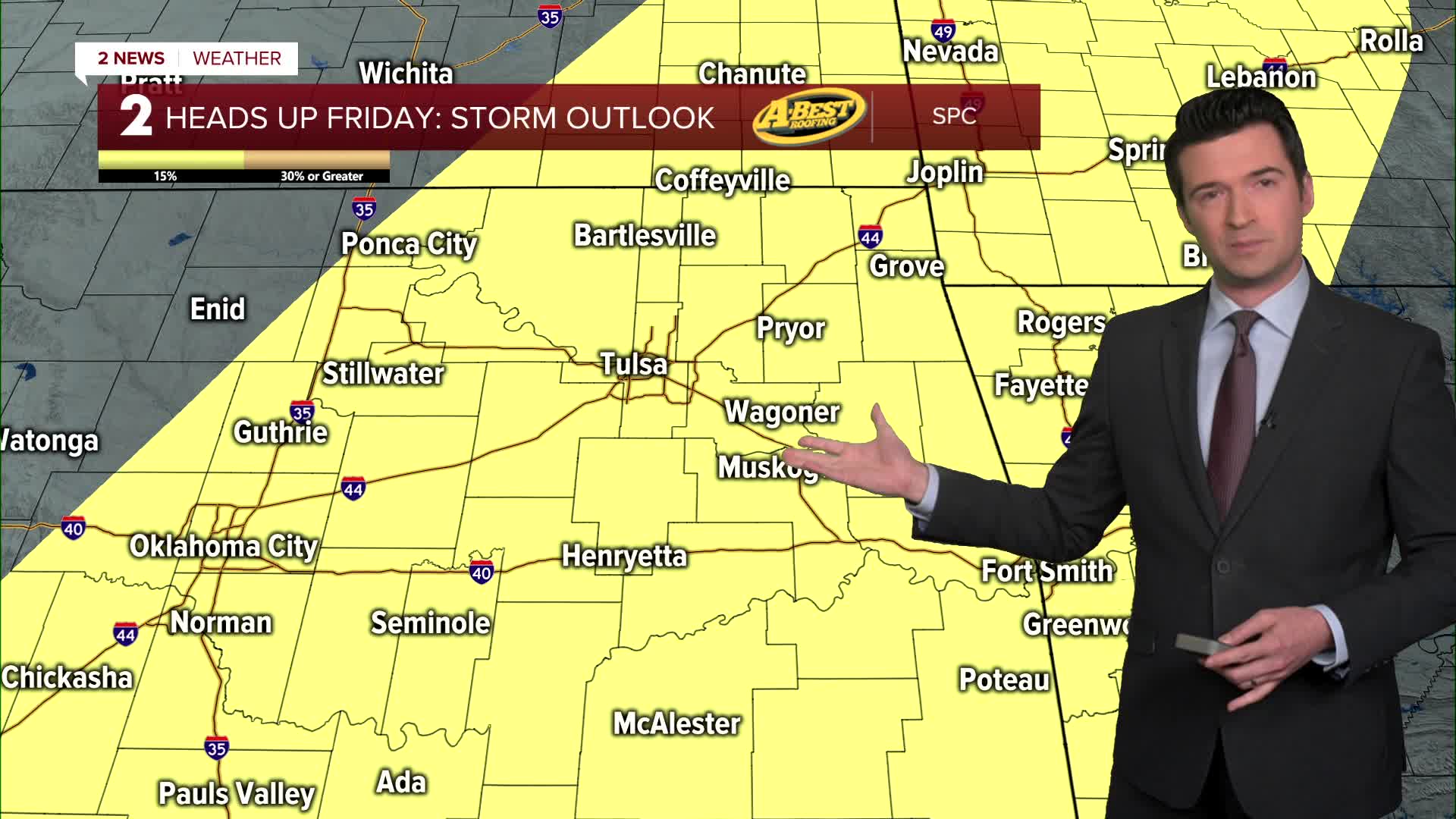
Friday morning starts out quite mild with lows in the low 60s and then highs in the 70s. Quite breezy to windy with south winds 15-25 mph. Mostly cloudy skies with a chance of showers and storms. This storm chance could last into Friday night/overnight and Saturday morning. Some of the storms between Friday and Saturday morning could be strong to severe ahead of a cold front.
Behind the front on Saturday, lows in the upper 40s and afternoon temps in the low 60s.
Sunday does look pretty dry at this time with lows in the upper 40s. Afternoon highs in the lower 70s. Partly cloudy skies.
Have a great week ahead!
Stay in touch with us anytime, anywhere --
- Download our free app for Apple, Android and Kindle devices.
- Sign up for daily newsletters emailed to you
- Like us on Facebook
- Follow us on Instagram
- Watch LIVE 24/7 on YouTube
