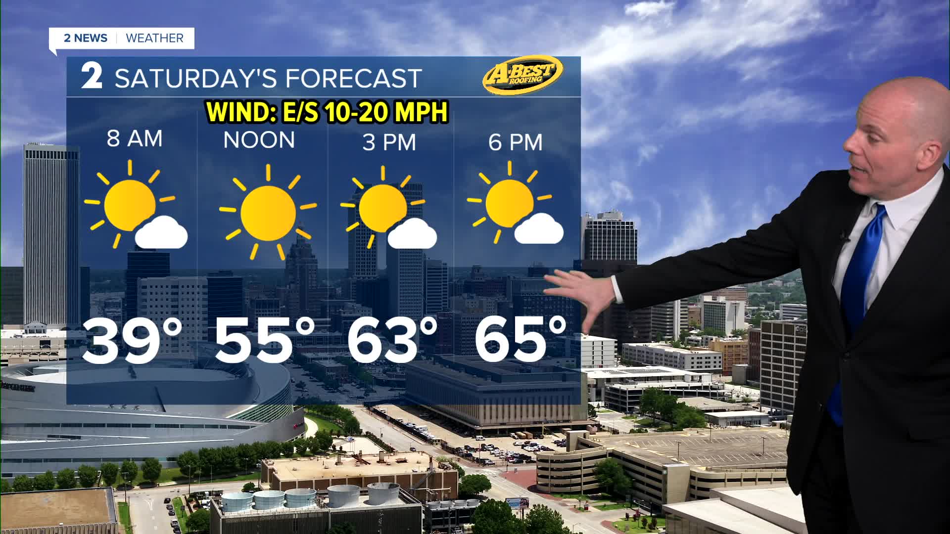


TULSA, OKLA — A few showers in the southern half of our forecast area will gradually depart overnight with some clearing from north to south. Saturday will bring pleasant and seasonably cool weather with light winds and clear skies. Highs in the mid to upper 60s and a chilly morning with lows reaching the 30s in spots!
Breezy southerly winds will return Sunday and to start next week, along with very warm conditions. This pattern will lead to an elevated fire weather risk each day until meaningful rainfall occurs.
Rain and storm chances will begin to increase Tuesday afternoon and evening. While Tuesday does not look like a classic severe weather setup, a few gusty strong to severe storms may still be possible. Rain chances will linger Wednesday and Thursday with cooler temperatures. Another round of storms may be possible Friday. Any rain received next week is well-needed.
Stay in touch with us anytime, anywhere --
- Download our free app for Apple, Android and Kindle devices.
- Sign up for daily newsletters emailed to you
- Like us on Facebook
- Follow us on Instagram
- Watch LIVE 24/7 on YouTube
