

TULSA, OKLA — Two dry cold fronts will set the stage as we close out the work week and into the weekend.
The first front will move across the area overnight through early Friday morning, followed by a second, much stronger, cold front Saturday afternoon and evening.
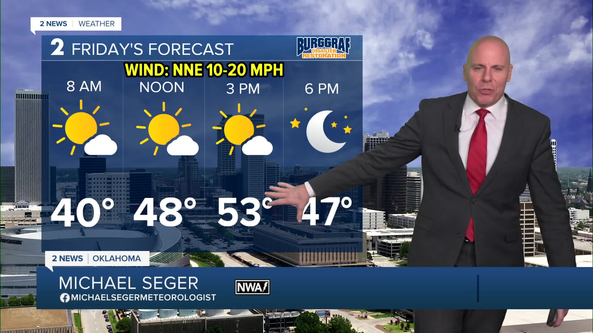
Highs for Friday will range from upper 40s north to lower 60s south. In the Tulsa metro we are most likely looking at low/mid 50s.
Saturday looks like it could be a tricky cloud cover day depending how slow or quick clouds clear. Faster clearing will mean highs in the low/mid 50s. Slower clearing may keep highs in the mid/upper 40s. For Sunday afternoon highs will be chilly in the mid-30s! Wind chill values in the single digits and teens will be common Saturday night and Sunday morning in the wake of this second front.
Temperatures will steadily climb warmer next week. After a chilly Monday, some 60s may be possible by the end of the week.
Stay in touch with us anytime, anywhere --
- Download our free app for Apple, Android and Kindle devices.
- Sign up for daily newsletters emailed to you
- Like us on Facebook
- Follow us on Instagram
- Watch LIVE 24/7 on YouTube
