

TULSA, OKLA — However, by the evening and night hours there could be a small chance for showers or storms in parts of the area, mainly northwest of I-44.
Tomorrow, the boundary will shift north again as a disturbance moves across the Rockies and a developing low-pressure system strengthens over eastern Colorado.
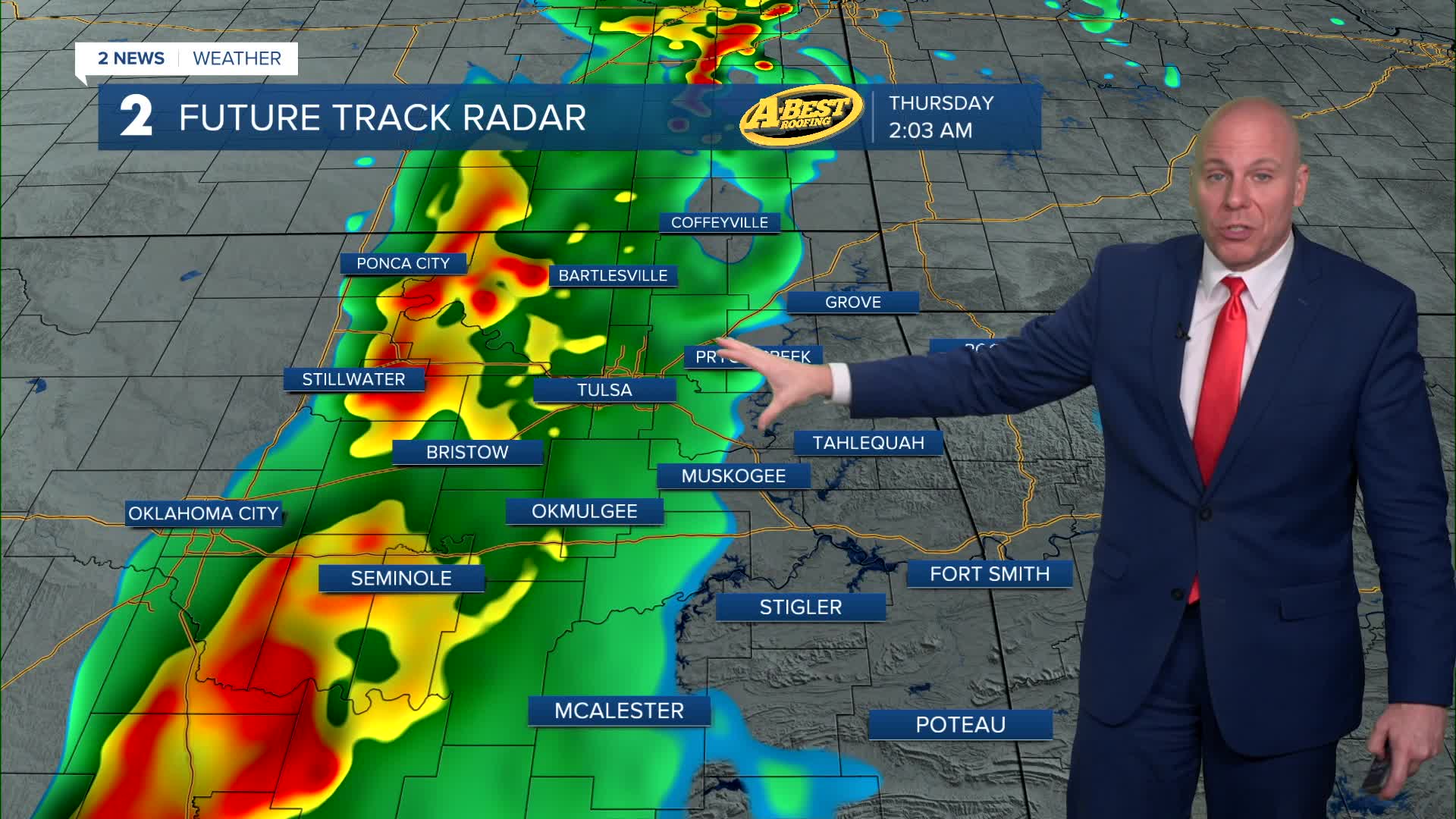
Warm, breezy southerly winds will continue, slowly bringing more moisture back into the region. An isolated shower or storm will be possible during the day, then chances will go up in the evening and overnight as a complex of storms moves east into our region.
A few storms could become strong to severe with the primary threats including damaging wind gusts and large hail. The tornado threat is low, but not zero. The intensity of the storms should diminish after midnight.
Thursday looks mostly dry, but we'll keep a slight chance of a shower or storm in the forecast. Temperatures will remain warm Friday with breezy south winds ahead of a stronger cold front expected to arrive Friday night.
Showers and thunderstorms may develop Friday afternoon, becoming more widespread Friday night into early Saturday as the cold front moves through.
Some storms could again produce damaging wind gusts, large hail and periods of heavy rain with a low tornado risk.
Storm chances should end by Saturday midday as the system moves away.
Behind the cold front, cooler and drier weather is expected to move in for Easter Sunday and early next week, bringing a break from the recent warm and unsettled conditions. Outdoor Easter Egg hunts will be a go Easter Sunday!
Stay in touch with us anytime, anywhere --
- Download our free app for Apple, Android and Kindle devices.
- Sign up for daily newsletters emailed to you
- Like us on Facebook
- Follow us on Instagram
- Watch LIVE 24/7 on YouTube
