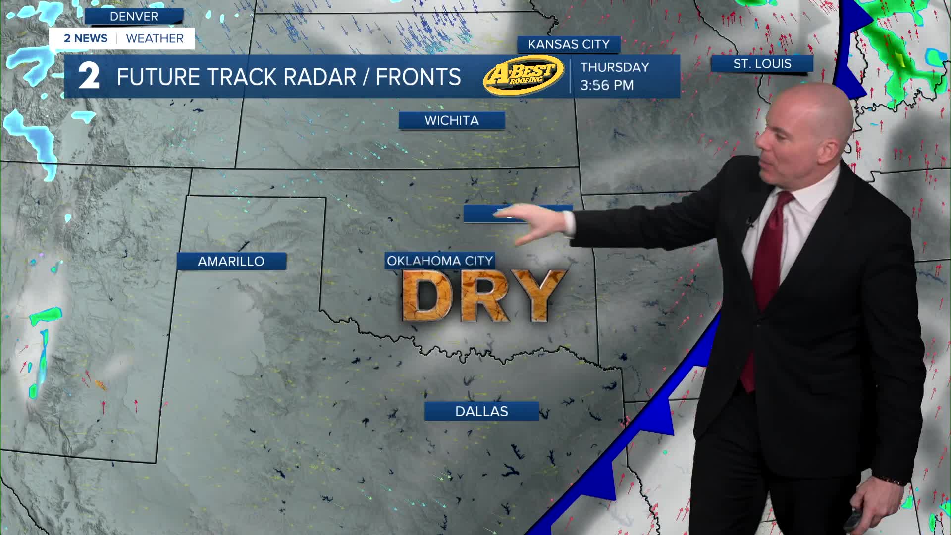


***RED FLAG FIRE WARNING IN NE OKLAHOMA THURSDAY FROM 9 AM - 8 PM***
Thursday: Worsening Fire Weather Conditions
Lows by daybreak will fall into the low 50s. A southwest breeze in the morning will become westerly by midday into the afternoon. Please be extra cautious as fast-spreading grass fires will be possible, and conditions could lead to a long day for fire suppression efforts.
Highs tomorrow afternoon around 70 degrees before dropping through the afternoon. Mostly sunny.
Winds will shift from west to northwest 15-30 mph with gusts 30-40 mph, signaling the arrival of cooler air late afternoon and evening. This wind shift could complicate any ongoing firefighting operations.
Winds will relax Thursday evening with overnight lows plunging to around freezing.
Friday and Saturday: Cooler and Calmer
Cooler temperatures will spread across the area Friday. Highs in the low to mid-50s with sunshine.
Another fast-moving system arrives Friday night into Saturday, bringing a low chance of light precipitation Saturday morning.
A brief rain–snow mix may occur near the Oklahoma–Kansas border, but no winter impacts are expected. Any precipitation will be very light.
Looking Ahead: Rest of weekend and early next week
Temperatures will be near to slightly below average through the weekend and early next week on Monday. Lows this weekend and Monday in the 20s and 30s with highs in the low 50s. Partly cloudy to mostly sunny.
A warming trend is expected through midweek with highs returning to the 60s as early as Tuesday.
Stay in touch with us anytime, anywhere --
- Download our free app for Apple, Android and Kindle devices.
- Sign up for daily newsletters emailed to you
- Like us on Facebook
- Follow us on Instagram
- Watch LIVE 24/7 on YouTube
