

TULSA, OKLA. — Clouds will stick around overnight tonight. Lows in the 60s.
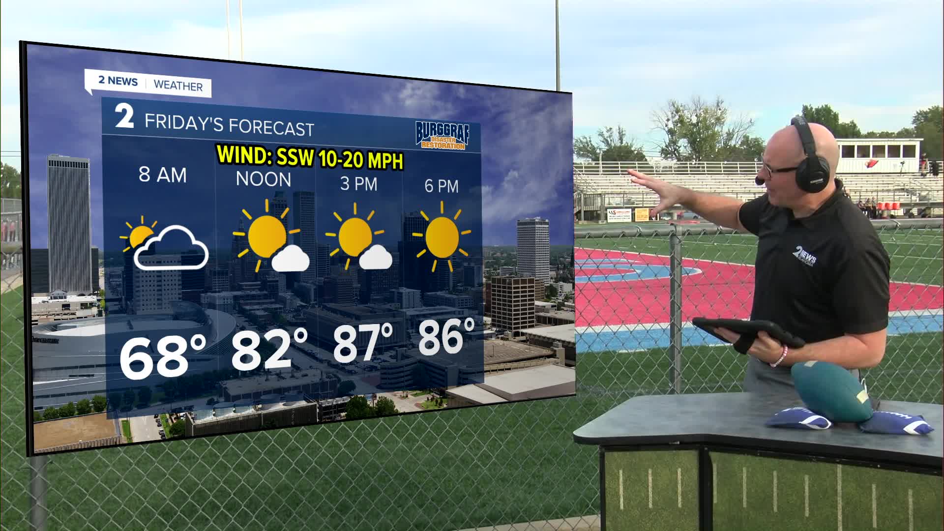
Winds will increase on Friday ahead of a cold front. South 10-20 with gusts up to 30 mph. Expect scattered showers and storms overnight Friday into Saturday morning. A low-end wind and hail threat will exist with any of the strongest storms. Lows in the upper 60s.
Then by Saturday afternoon and evening, more storms will fire off with mainly a wind and hail threat, but also a lower end tornado risk. This chance is across all of eastern Oklahoma, but possibly a higher chance across the far east end of the state. Highs in the 80s.
Storms should clear eastern Oklahoma by early Saturday evening, but may clear the metro by early afternoon. Gusty winds will shift around to the north and northwest behind the front Saturday evening and night marking the arrival of the cooler air.
Behind the front on Sunday, the weather looks great and will finally feel like fall! Lows in the region in the 40s and 50s with highs area-wide in the 70s. Sunny skies with north winds 5-15 mph, then possibly shifting to out of the south later in the day.
Morning lows Monday in the 40s and 50s with highs in the 80s again. Another front may cool us back into the 70s for highs Tuesday through Thursday. Lows in the 40s and 50s. Possibly another chance for some showers Wednesday into Thursday.
Stay in touch with us anytime, anywhere --
- Download our free app for Apple, Android and Kindle devices.
- Sign up for daily newsletters emailed to you
- Like us on Facebook
- Follow us on Instagram
- Watch LIVE 24/7 on YouTube
