

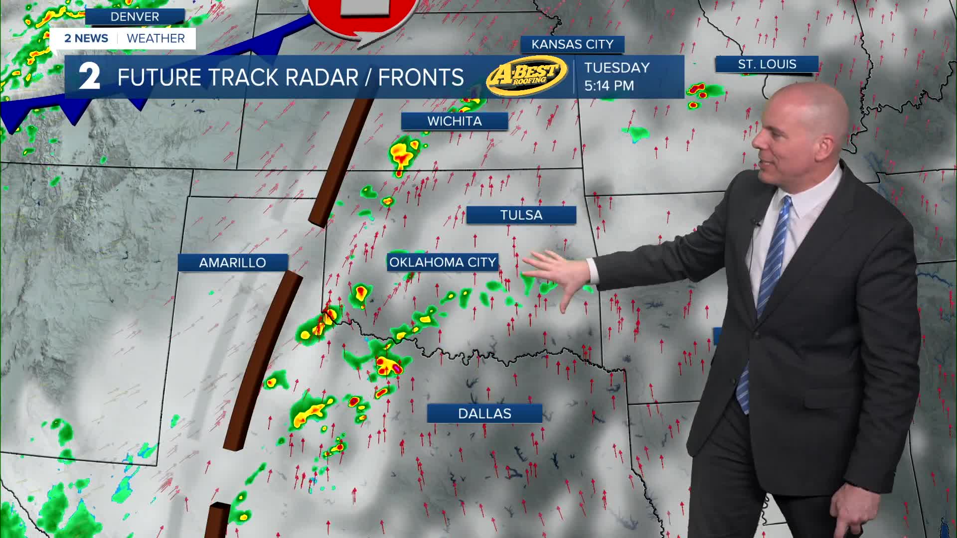


TULSA, Okla. — Storms did not develop in Oklahoma Monday evening and therefore we will remain quiet through the overnight. Mostly cloudy to partly cloudy skies continue for Tuesday with lows around 70° and highs in the lower to middle 80s. South winds 15-30 mph. Look for an increasing chance for strong to severe storms during the late afternoon and evening hours. All threats of severe weather possible.
Mainly cloudy skies for Wednesday with showers and t-storms likely. Lows in the mid 60s with highs in the upper 70s. Gusty south wind continues. Another risk for strong to severe storms, mainly in the afternoon and evening period. All threats of severe weather possible.
We catch a break on Thursday with lows around 60° and highs around 85°. South winds 10-15 mph with partly cloudy skies.
Mostly cloudy on Friday with an increasing chance for strong to severe storms during the afternoon and evening, and at night ahead of a cold front. Lows in the upper 60s with highs in the low 80s. South winds gusty 15-25 mph.
The chance for showers and storms will continue before sunrise Saturday, then clearing behind the front. Expect a refreshing cool-down for the rest of the weekend with temperatures only reaching the low/mid 60s during the day and lows falling back into the 40s with a brisk north wind.
Sunday looks like a beautiful day with a cool morning, comfortable afternoon, and lots of sunshine.
Stay in touch with us anytime, anywhere --
- Download our free app for Apple, Android and Kindle devices.
- Sign up for daily newsletters emailed to you
- Like us on Facebook
- Follow us on Instagram
- Watch LIVE 24/7 on YouTube
