

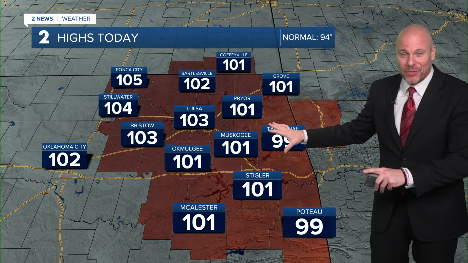


TULSA, Okla — ***HEAT ALERTS FOR THE VIEWING AREA UNTIL SUNDAY EVENING***
Heat will dominant through the weekend. Look for highs both Saturday and Sunday in the low/mid 100s with heat index values over 105F to possible exceeding 110F.
A weak front will approach Sunday giving us a slight chance for a few isolated storms with a lingering chance for a few pop-up storms on Monday. Strongest storms may contain strong wind gusts. While a significant temperature drop is not expected, our 100-degree streak may end Monday. The heat will likely build back Tuesday and Wednesday, but models hinting at another cool down for the second half of next week with a slight chance of storms.
Remember to practice heat safety with all the dangerous heat. Stay hydrated and try to stay indoors during the afternoon hours when heat is at its highest.
Drought continues to expand in our region, with moderate drought showing up across the western side of our viewing area. Spots of extreme to exceptional drought in western Oklahoma and north Texas.
The fire danger will continue to increase as these conditions last.
Stay in touch with us anytime, anywhere --
- Download our free app for Apple, Android and Kindle devices.
- Sign up for daily newsletters emailed to you
- Like us on Facebook
- Follow us on Instagram
- Watch LIVE 24/7 on YouTube
