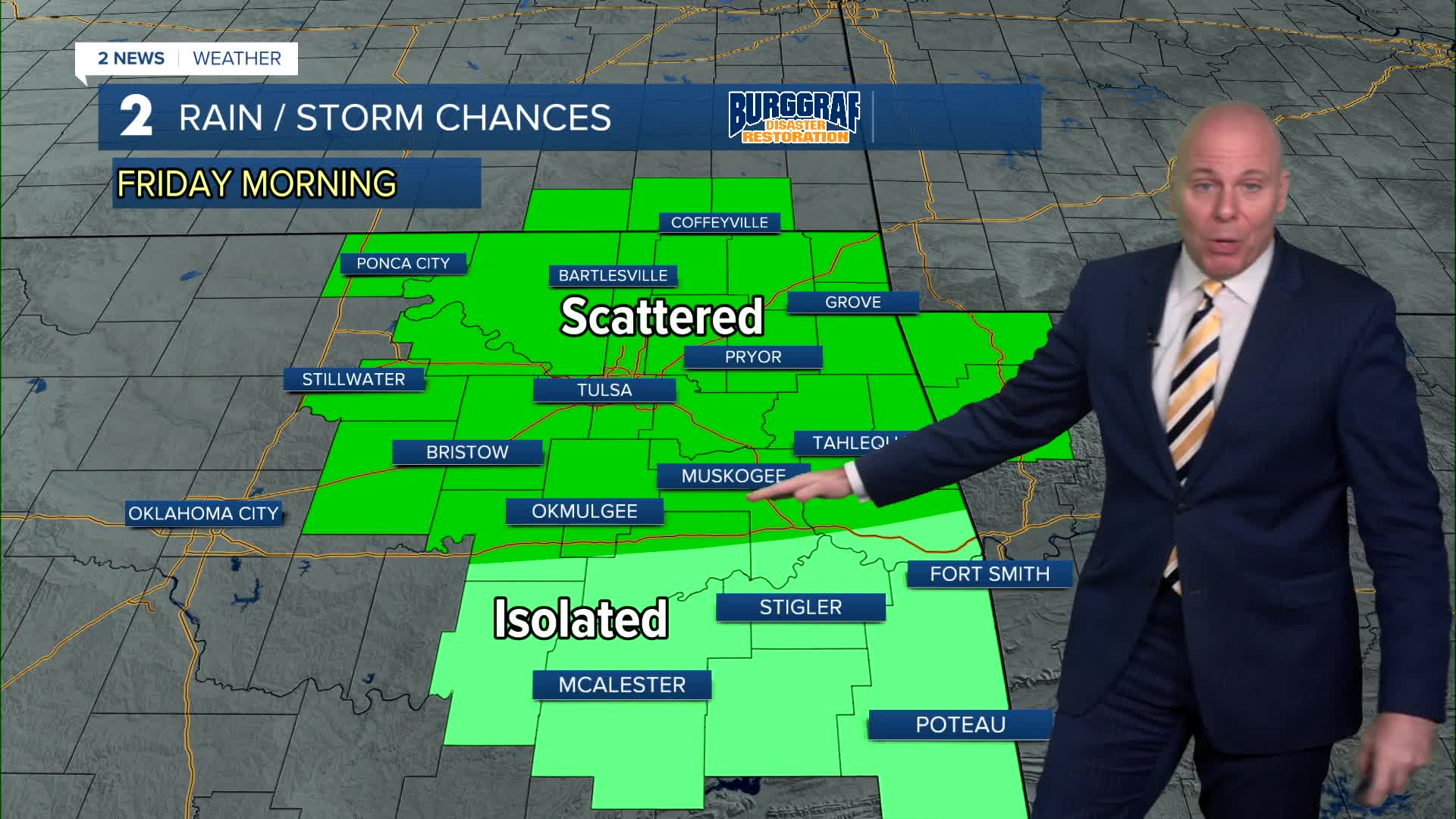


TULSA, Okla. — A cold front arrives Friday with rain chances increasing in the morning hours, but then becoming more isolated in the afternoon and evening. Temperatures will be tricky depending on the timing of the front with highs ranging in the 70s in most areas, but 80s to low 90s along and south of I-40. Northeast winds may gust over 25mph.
Higher rain chances for Friday Night Football will be north along the Oklahoma and Kansas line, but we'll keep an isolated shower chance for all of us. Grab the jackets too as temps will fall well into the 60s perhaps even a few 50s by the end of the games.
Isolated to scattered storm chances may redevelop overnight into early Saturday morning, especially south of I-44, but that should clear the region very early Saturday morning.
The weekend keeps looking better so keep your Saturday and Sunday plans! We'll enjoy a mix of clouds and sun with highs in the mid 70s Saturday and upper 70s on Sunday! We may even need the jackets in the morning with lows in the 50s!
We'll add a slight chance of a few storms early next week as moisture returns. Expect temps warming up by the end of the week.
Stay in touch with us anytime, anywhere --
- Download our free app for Apple, Android and Kindle devices.
- Sign up for daily newsletters emailed to you
- Like us on Facebook
- Follow us on Instagram
- Watch LIVE 24/7 on YouTube
