

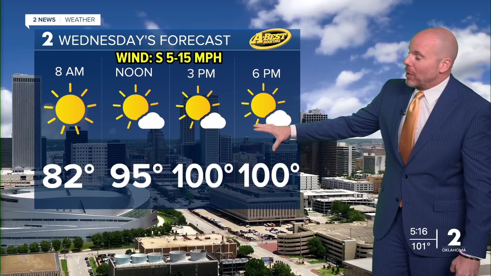



TULSA, OKLA — ***HEAT ADVISORY FOR TULSA, WASHINGTON, NOWATA, ROGERS, MAYES, WAGONER, SE OSAGE, OKMULGEE, MUSKOGEE, MCINTOSH, AND PITTSBURG COUNTIES WEDNESDAY FROM NOON UNTIL 8PM.***
Tonight, temperatures will gradually cool through the 90s, 80s and into the mid/upper 70s toward dawn on Wednesday. Parts of the Tulsa metro may hold near 80°. Nearly identical weather conditions to today can be expected tomorrow with highs back to or slightly above 100° with mostly sunny conditions. Heat index values over 105° will be possible.
Temperatures may ease back a few degrees Thursday and Friday as some tropical moisture moves north from the Gulf Coast. That added moisture could bring a few isolated showers or thunderstorms, mainly across southeast Oklahoma.
However, rain chances remain very low overall, and most locations will stay dry. Any showers or storms that develop will be widely scattered and are not expected to provide meaningful drought relief.
The combination of persistent heat and little rainfall will continue to worsen the ongoing drought. Dry conditions will also increase the potential for localized fire weather concerns each day, particularly where winds become gusty.
There are no major changes expected in the weather pattern through Labor Day weekend. Temperatures will remain well above normal, with hot and dry conditions sticking around. In fact, the long-range weather pattern keeps triple-digit heat around Green Country into much of next week.
If you’re making outdoor plans for the holiday weekend, be prepared for significant heat stress and plan for plenty of water, shade and breaks from the heat.
Stay in touch with us anytime, anywhere --
- Download our free app for Apple, Android and Kindle devices.
- Sign up for daily newsletters emailed to you
- Like us on Facebook
- Follow us on Instagram
- Watch LIVE 24/7 on YouTube
