

TULSA, OKLA — TORNADO WATCH: Nowata, Osage, Pawnee, Payne, Washington, Chautauqua, and Montgomery Counties until 9 p.m.
Today will be another warm, windy, and humid day with severe storms possible for the second half of the day.
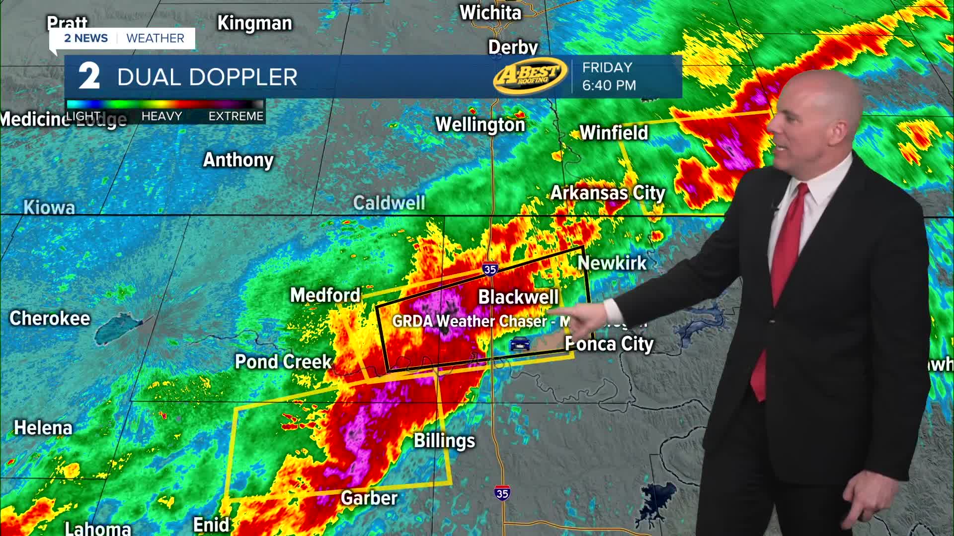
Storms are expected to develop along the cold front Friday evening and move southeast.
Hazards could include damaging winds, large hail and tornadoes possible early.
Storms may approach the I-44 corridor between 9 PM and 11 PM.
Some weakening is possible as storms move south, but damaging wind gusts and brief spin-up tornadoes remain possible.
Periods of heavy rainfall are also possible Friday evening, with a limited risk of flash flooding.
The heaviest rain is expected to stay north of I-40.
After the front, cooler and drier air arrives with highs only in the 60s tomorrow afternoon.
By the evening hours, clear skies and light winds may allow temperatures to drop into the upper 30s and 40s early Sunday morning. Highs pleasant for Sunday in the low to mid-70s.
A warming trend returns early next week with another chance for storms late next week.
Stay in touch with us anytime, anywhere --
- Download our free app for Apple, Android and Kindle devices.
- Sign up for daily newsletters emailed to you
- Like us on Facebook
- Follow us on Instagram
- Watch LIVE 24/7 on YouTube
