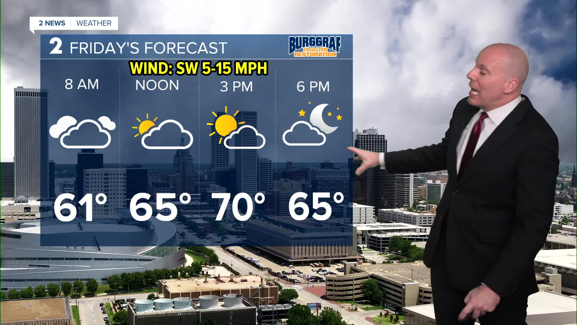


TULSA, OKLA — Rain will gradually move out to the north and east overnight into Friday morning. A few isolated showers will remain north and east.
Skies will gradually clear throughout the day on Friday with most locations getting some sunshine before the day is over. Where that see more sun, 70s for highs will be likely. Those of you north of HWY 412 have a greater chance of lingering clouds so highs may remain in the 60s. A cold front will move through tomorrow afternoon and evening dropping temperatures closer to seasonal over the weekend.
Highs for Saturday will be highly dependent on how quick or slow clouds clear. The quicker we see sunshine, the better the odds we'll see highs near 60, but if clouds are slow to clear, temps will struggle. Highs may hold in the 50s. Most of Sunday looks nice with highs in the low/mid 60s. Chances for rain and some storms do go up though for Sunday evening and night, and will remain into Monday.
Another cold front may arrives late Tuesday cooling temperatures down for Wednesday. Right now the cool down does not look extreme for us with temperatures only running slightly below average for Thanksgiving and Black Friday.
Stay in touch with us anytime, anywhere --
- Download our free app for Apple, Android and Kindle devices.
- Sign up for daily newsletters emailed to you
- Like us on Facebook
- Follow us on Instagram
- Watch LIVE 24/7 on YouTube
