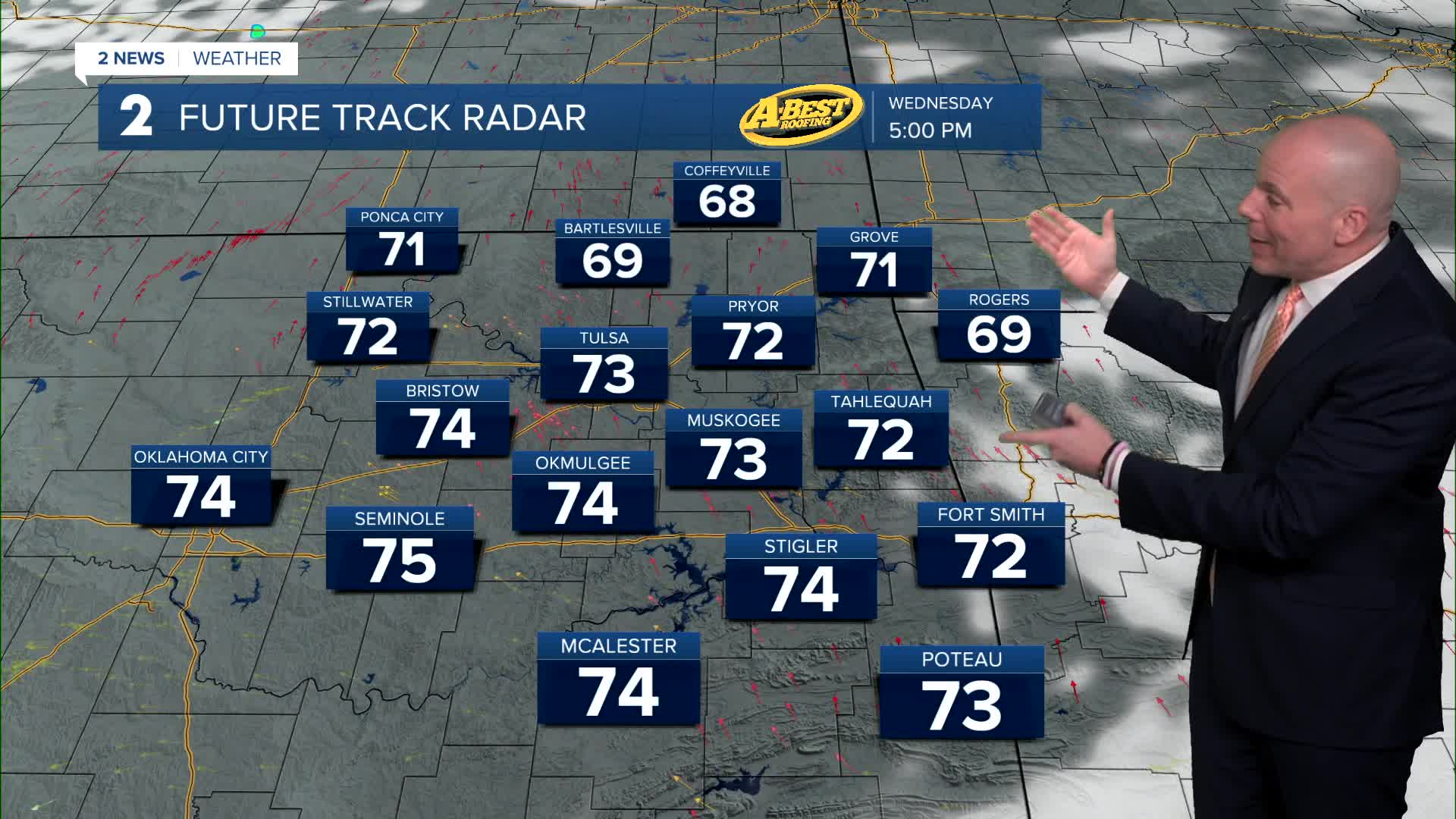


TULSA, Okla. — Lows in the mid 40s Wednesday with daytime highs in the low to mid 70s again. Partly cloudy to mostly sunny skies. A lower fire danger with light winds out of the S to E at 5-10 mph.
Lows in the mid/upper 40s on Thursday with afternoon temps in the upper 60s. Slight chance for maybe a few sprinkles or light rain showers very early in the morning, but don't get your hopes up. Most of us likely remain dry. Skies should clear by the afternoon.
Morning temperatures start around 40° Friday and then mid 70s. Sunny skies. The fire danger may be elevated with a south breeze at 10-15 mph.
Upper 40s Saturday morning with highs close to 80°. Saturday looks to be our warmest day in the short-term forecast. This before a cold front is scheduled to move in. Models are still having a tough time with regard to temperatures Sunday into Monday.
As of now, we are calling for a chance of rain showers (maybe some t-storms into the mix) Sunday and Monday. Lows in the 40s with highs in the 60s. To give you a sense of the range in model solutions for Sunday, one model has 80° for the high in Tulsa and another keeps temperatures in the 50s and 60s. Stay tuned as we get newer model data into the weather center. In any case, there will most likely be a sharp temperatures gradient from north (cooler) to south (warmer) lined up on Sunday.
The weather pattern looks to favor chances for well-needed rain and possible thunderstorms much of next week, but still too early to know the details. We'll continue to monitor and adjust the next few days.
Stay in touch with us anytime, anywhere --
- Download our free app for Apple, Android and Kindle devices.
- Sign up for daily newsletters emailed to you
- Like us on Facebook
- Follow us on Instagram
- Watch LIVE 24/7 on YouTube
