

TULSA, OKLA — Residents across eastern Oklahoma should be prepared for several rounds of rain and thunderstorms overnight Friday into Saturday. Some storms could become strong, with the potential for small hail, gusty winds, and localized flooding.
Overnight into early Saturday morning:
Initially the highest chance of showers and storms will be north of I-44, but after midnight the coverage of rain and storms will likely increase farther south. Areas south of I-40 will likely see more scattered showers rather than steady rain.
The overall severe threat will remain very low, but we can't rule our a strong to marginally severe storm with some strong wind gusts and some hail.
In addition, heavy rainfall is possible overnight in northeast Oklahoma. This could lead to localized flooding, particularly in low-lying or poor drainage areas.
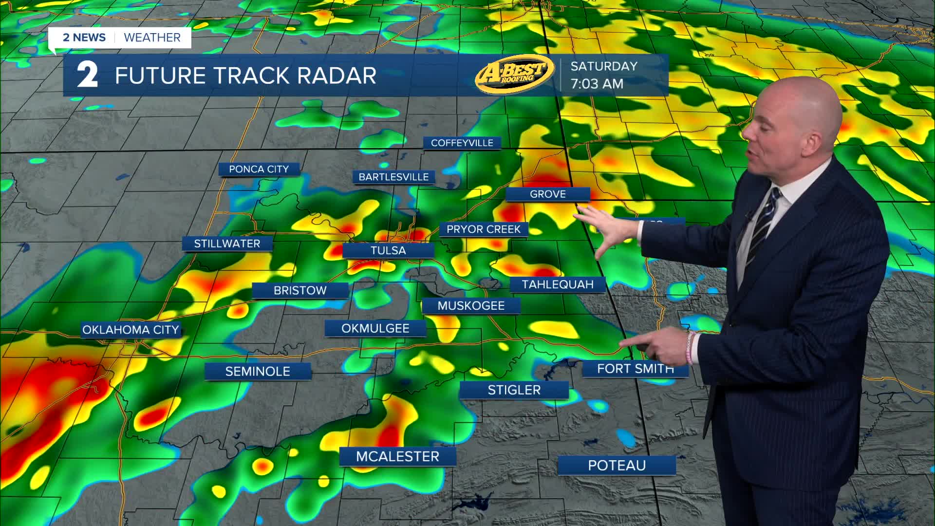
Valentine's Day:
Showers and thunderstorms are expected to be ongoing Saturday morning. In the afternoon, the more widespread heavy rain and storms will start to shift to the south of I-44, but we'll still keep the chance of a few spotty showers and storms north. Overall, the severe threat looks very low, but gusty winds and small hail may accompany the strongest storms. Showers and storms will gradually move out and dissipate Saturday night. Keep the umbrella with you for you Valentine's Day!
Heavy Rainfall and Flooding Concerns:
Much of eastern Oklahoma and southeast Kansas can expect 1 to 2 inches of rainfall, with some areas possibly receiving more than 3 inches before the rain.
While this rainfall will be beneficial for ongoing drought conditions, localized flooding may occur—especially in low-lying areas, near creeks, and in spots with poor drainage.
Looking Ahead:
After the rain moves out, we'll see slow clearing Sunday with highs in the low 60s. Unseasonably warm temperatures are expected to return quickly early next week, bringing a noticeable shift back to warmer weather. Highs are forecast to be in the 70s Monday through Thursday.
Stay weather-aware over the next couple of days, especially if you have outdoor plans or live in flood-prone areas.
Stay in touch with us anytime, anywhere --
- Download our free app for Apple, Android and Kindle devices.
- Sign up for daily newsletters emailed to you
- Like us on Facebook
- Follow us on Instagram
- Watch LIVE 24/7 on YouTube
