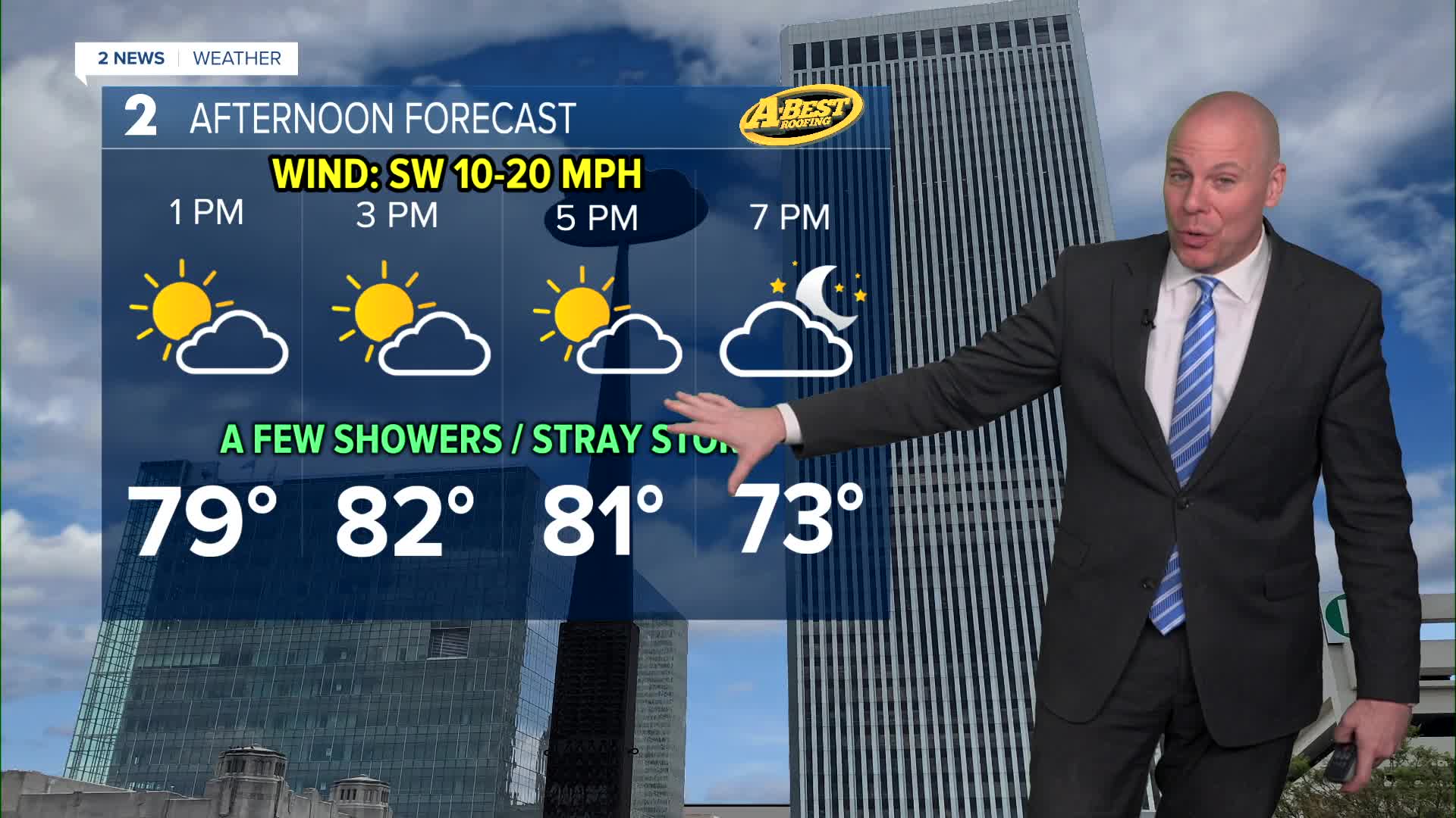


TULSA, Okla — A warm finish to February! Saturday afternoon highs will reach the upper 70s and low 80s with the record for the date being 82° from 1972. There is a chance of a few spotty showers or perhaps a stray thunderstorm, but most of us should remain dry. The chance for a few scattered showers will go up this evening, mostly south of I-44.
Mostly cloudy skies skies on Sunday with a chance for some showers and t-storms. Highest chances for rain look to be over northern portions of our forecast area with lower chances for those of you south. Temperatures will be tricky Sunday. Our current forecast has a high in Tulsa at 62°, but there will be a tight temperature gradient across eastern Oklahoma with cooler temperatures to the north with warmer temps across the south. This may be the case for Monday as well before warm air surges back north of Tuesday.
Next week looks active with more showers and t-storms possible. Precise timing and location of the rain each day remains uncertain, but the pattern favors multiple rounds of showers and storms throughout the week. There could be some strong to severe storms as well by the end of the week if we can get enough moisture and instability, but still a long way to go. Right now just something we will continue to monitor as we get closer. We will take all the rain we can get as drought continues to expand in Green Country.
Have a great weekend!
Stay in touch with us anytime, anywhere --
- Download our free app for Apple, Android and Kindle devices.
- Sign up for daily newsletters emailed to you
- Like us on Facebook
- Follow us on Instagram
- Watch LIVE 24/7 on YouTube
