

TULSA, OKLA. — We'll have partly cloudy skies today with a slight chance for an isolated shower or storm later in the afternoon or early in the evening. The high up to 95° in Tulsa. Northeast winds 5-15 mph.
Quiet this evening with overnight lows once again down to around 70°. We'll keep the chance of a shower or storm in southeast Oklahoma though daybreak.
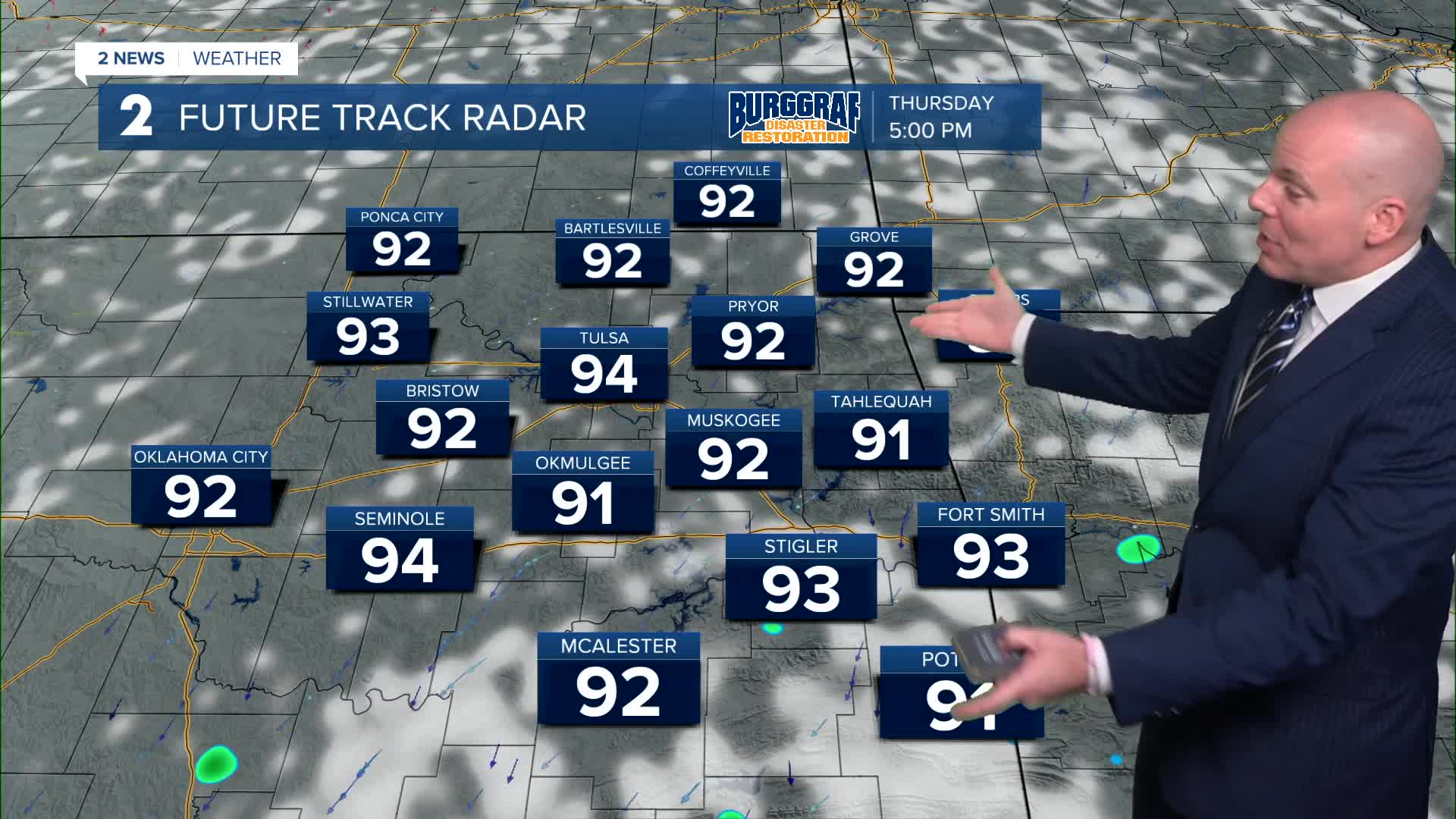
It's looking nice for late August as we wrap up the week with seasonably hot temperatures in the low to mid-90s under a mostly sunny sky. This continues into the weekend. As a cold front approaches Saturday, we'll add another slight chance of storm mostly north of HWY 412.
Behind the front, Sunday's temperatures may drop only a few degrees (low 90s), but a more significant cool down arrives next week!
Rain and thunderstorm chances will greatly increase on Monday and into Tuesday, and this will likely keep temperatures well below average for late August. Our current forecast keeps high temps in the 70s Monday and Tuesday.
Through the rest of next week, confidence is high temperatures will remain well below average, but just how cool remains uncertain. Temperatures will be highly dependent on where the highest rain and storm chances line up, and right now it's just too early to know for certain. Expect more updates to next week's cool forecast as we get closer!
Stay in touch with us anytime, anywhere --
- Download our free app for Apple, Android and Kindle devices.
- Sign up for daily newsletters emailed to you
- Like us on Facebook
- Follow us on Instagram
- Watch LIVE 24/7 on YouTube
