

TULSA, Okla. — Any lingering showers will diminish overnight with overnight lows in the low 60s for Wednesday morning. Areas of patchy fog for the morning commute.
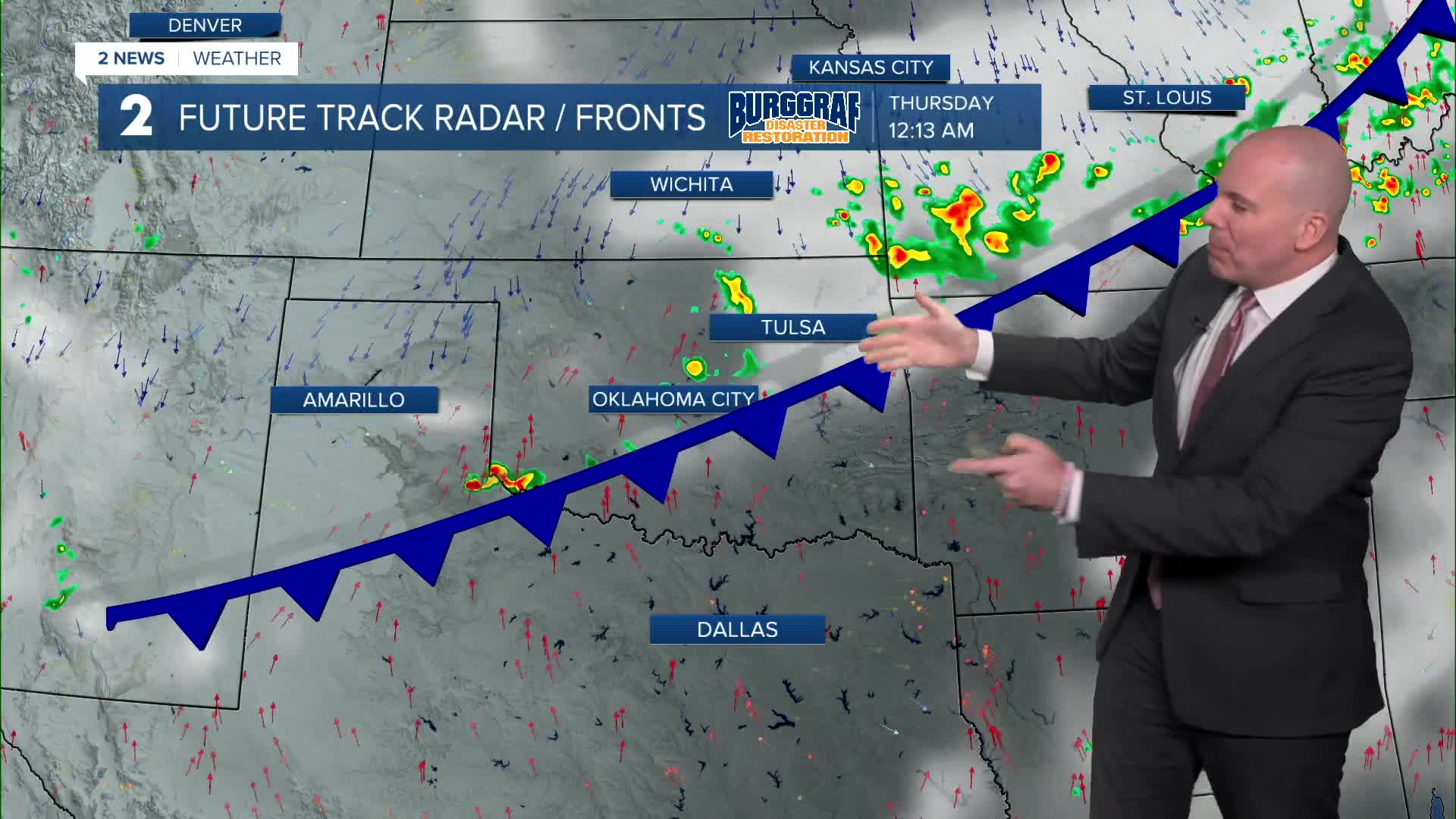
We'll enjoy lots of sunshine with highs in the mid 80s Wednesday afternoon! Most of the day will be dry, but we are tracking a cold front after sunset that will bring storm chances. A few storms could be marginally severe near the Oklahoma/Kansas border. Widespread severe weather is not expected.
Lows in the low 60s Thursday with mostly dry conditions. Lots of sunshine and highs in the upper 70s to low 80s.
Another cold front arrives Friday. Some isolated to widely scattered showers and storms for the first half of Friday with a better chance arriving during the evening. early as Friday. Highs for Friday in the mid/upper 70s north with warmer temps likely south of I-40.
Rain chances will likely remain into Saturday morning, but then tapering off into the afternoon and evening. We'll keep a rain chance in the forecast for Sunday, but uncertainty remains with exact timing and placement. Temperatures will likely struggle to warm up with highs in the 70s.
Stay in touch with us anytime, anywhere --
- Download our free app for Apple, Android and Kindle devices.
- Sign up for daily newsletters emailed to you
- Like us on Facebook
- Follow us on Instagram
- Watch LIVE 24/7 on YouTube
