

***FLOOD WATCH into Wednesday morning***
***TORNADO WATCH until 10pm for southeast parts of Green Country***
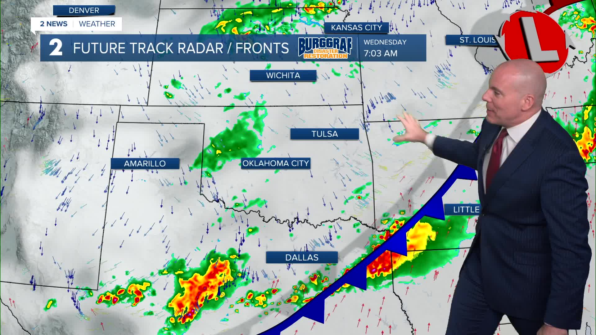
Highest chance of showers and storms will be south of I-44 the rest of the evening. Damaging wind gusts, hail, a low tornado threat, and a flood threat exist with the strongest and heaviest storms. Severe and flooding are a concern with the heaviest and strongest storms. Damaging wind gusts, hail, and a low tornado threat. The severe threat will clear our southern counties by 11pm.
Thanks to a cold front sweeping through Tuesday evening, we'll enjoy cooler weather for Wednesday with lows in the 60s and afternoon highs holding in the mid/upper 70s. Keep an umbrella with you as a few spotty showers and storms will be possible, especially in the afternoon and early evening. No severe weather is expected.
We dry off for Thursday with a few clouds lots of sunshine. Lows near 60° with highs near 80°.
Dry conditions Friday through the weekend with mostly sunny skies. Lows from the upper 50s to the low 60s and highs in the low to the mid 80s. The first weekend of fall looks pretty good for any outdoor plans and of course the Tulsa State Fair!
Stay in touch with us anytime, anywhere --
- Download our free app for Apple, Android and Kindle devices.
- Sign up for daily newsletters emailed to you
- Like us on Facebook
- Follow us on Instagram
- Watch LIVE 24/7 on YouTube
